From Surf Wiki (app.surf) — the open knowledge base
Utena, Lithuania
| Field | Value | |
|---|---|---|
| name | Utena | |
| settlement_type | City | |
| image_skyline | {{multiple image | |
| border | infobox | |
| total_width | 250 | |
| image_style | border:1; | |
| perrow | 1/2/2/1 | |
| image1 | Utena city - Real is beautiful.jpg | |
| caption1 | Aerial view of Utena | |
| image2 | Church of the Ascension of Christ in Utena, Lithuania in 2024.jpg | |
| caption2 | Church of the Ascension of Christ | |
| image3 | Church of the Providence of God in Utena, Lithuania in 2015.png | |
| caption3 | Church of the Providence of God | |
| image4 | Utena, TIC, muziejus.JPG | |
| caption4 | Museum of Freedom Fights at the former railway station | |
| image5 | Utena, pašto stotis.JPG | |
| caption5 | Department of Visual Arts of the Utena Art School | |
| image6 | Utena, muzikālās strūklakas- Musical fountains in Utena, Lithuania - panoramio.jpg | |
| caption6 | Musical fountains at Lake Dauniškis and memorial for the Lithuanian partisans in the background at center | |
| pushpin_map | Lithuania#Baltic states#Europe | |
| pushpin_map_caption | Location of Utena in Lithuania##Location of Utena within the Baltics##Location of Utena in Europe | |
| pushpin_relief | 1 | |
| pushpin_label_position | ||
| image_shield | Coat of arms of Utena (Lithuania).svg | |
| image_flag | Utenos vėliava.svg | |
| coordinates | ||
| leader_title | Mayor | |
| leader_name | Marijus Kaukėnas | |
| subdivision_type | Country | |
| subdivision_name | ||
| subdivision_type1 | Ethnographic region | |
| subdivision_name1 | Aukštaitija | |
| subdivision_type2 | County | |
| subdivision_name2 | [[Image:Utena County flag.svg | 23px]] Utena County |
| subdivision_type3 | Municipality | |
| subdivision_name3 | Utena district municipality | |
| subdivision_type4 | Eldership | |
| subdivision_name4 | Utena town eldership | |
| subdivision_type6 | Capital of | |
| subdivision_name6 | Utena district municipality | |
| Utena town eldership | ||
| Utena rural eldership | ||
| established_date | 1261 | |
| established_title | First mentioned | |
| established_date2 | 1599 | |
| established_title2 | Granted city rights | |
| area_total_km2 | 15.3 | |
| elevation_m | 113 | |
| population_total | 25397 | |
| population_as_of | 2020 | |
| population_density_km2 | auto | |
| population_metro | 48378 | |
| postal_code_type | Postal code | |
| postal_code | 28xxx | |
| area_code | (+370) 389 | |
| population_demonym | Utenian(s) (English) | |
| uteniškiai (Lithuanian) | ||
| timezone | EET | |
| utc_offset | +2 | |
| timezone_DST | EEST | |
| utc_offset_DST | +3 | |
| website | ||
| module |
Utena town eldership Utena rural eldership uteniškiai (Lithuanian)
Utena () is a city in north-east Lithuania. It is the administrative center of Utena district and Utena County. Utena is one of the oldest settlements of Lithuania. The name of the city is most probably derived from a hydronym. The name of the settlement has been known since 1261.
Utena is an industrial city. It is known for its clothing, food and beverage factories. In recent years, however, streets, public squares and large areas of the parks in the city were reconstructed and Utena is now more attractive for recreation and tourism.
The anniversary of Utena City had been held each year on the last weekend of September. Since 2013 the anniversary has been held on the first weekend of September to take advantage of better weather conditions.
History

Utena was first mentioned in historical documents dating back to 1261. The settlement was a major center of Nalšia. It was part of the Grand Duchy of Lithuania until 1795, when it fell under the Russian Empire rule. From 1802 it belonged to the Vilna Governorate until 1843 when it became a part of the Kovno Governorate. The town grew rapidly after the St.Petersburg-Warsaw road was constructed between 1830 and 1835. In 1835–1836, the Utena Postage Station for horse post with lodging houses and stables was constructed, which was used or passed by the Russian tsars, French writer Honoré de Balzac, Russian painter Ilya Repin, Lithuanian poet Antanas Baranauskas, Lithuanian national movement figure Jonas Basanavičius, etc. In 1899 a narrow gauge railway line, connecting Panevėžys-Utena-Švenčionys, was constructed. At the end of the 19th century two big fires devastated the town.
Germany occupied Utena from 1915 to 1918, until the Soviet Bolsheviks took over. Following the defeat of Soviets, in June 1919, Utena became a district center in independent Lithuania.
Utena, known as the shtetl Utyan in Yiddish, historically had a Jewish population. In 1941, approximately 2,000 Jews were rounded up in the town, which was then under the Nazi occupation, and shot in the Rašė Forest about 2 km to the north.
Demography
Population
According to the 2021 census, the city population was 25,343 people, of which:
- Lithuanians – 95.61% (24,232)
- Russians – 2.20% (558)
- Poles – 0.63% (160)
- Ukrainians – 0.17% (42)
- Belarusians – 0.15% (37)
- Others / did not specify – 1.26% (320)
| 1939 | 6,276 | 1959 | 7,066 | 1979 | 23,461 | 1989 | 34,430 | 1999 | 36,100 | 2005 | 33,086 | 2006 | 32,881 | 2007 | 32,789 | 2008 | 32,572 | 2009 | 32,476 | 2010 | 31,940
Geography
Utena is located in northeastern Lithuania. The city covers 15.1 km2 and is the eighth-largest city by area in Lithuania. Four rivers cross the city territory: Vyžuona, Krašuona, Vieša and Utenėlė. There are also two lakes in Utena, Dauniškis and Vyžuonaitis.
Districts
The city is divided into 10 districts:
- Aukštakalnis
- Ąžuolija
- Centras (Center)
- Dauniškis
- Pramonės rajonas (Industrial district)
- Rašė
- Vyturiai
- Šilinė
- Grybeliai
- Krašuona
Parks and gardens
- City Garden
- Vyžuona Park
- Dauniškis Park
- Krašuona Park
- Aukštakalnis Pine Forest
- Rašė Park
- Utenėlė Park
- Vieša Park
- Monkey park
Climate
Under the Köppen climate classification, Utena has a humid continental climate (Dfb). The lowest temperature ever recorded in Lithuania occurred in Utena: -42.9 C on 1 February 1956. |Jan record high C = 7.7 |Feb record high C = 13.3 |Mar record high C = 19.5 |Apr record high C = 26.8 |May record high C = 30.8 |Jun record high C = 31.7 |Jul record high C = 34.4 |Aug record high C = 32.0 |Sep record high C = 28.4 |Oct record high C = 23.4 |Nov record high C = 15.9 |Dec record high C = 10.5 |year record high C = |Jan record low C = -38.9 |Feb record low C = -42.9 |Mar record low C = -33.7 |Apr record low C = -17.6 |May record low C = -4.6 |Jun record low C = -1.5 |Jul record low C = 3.7 |Aug record low C = -0.1 |Sep record low C = -5.2 |Oct record low C = -13.2 |Nov record low C = -20.0 |Dec record low C = -31.3 |year record low C = | access-date = March 27, 2023}}}}
Sport
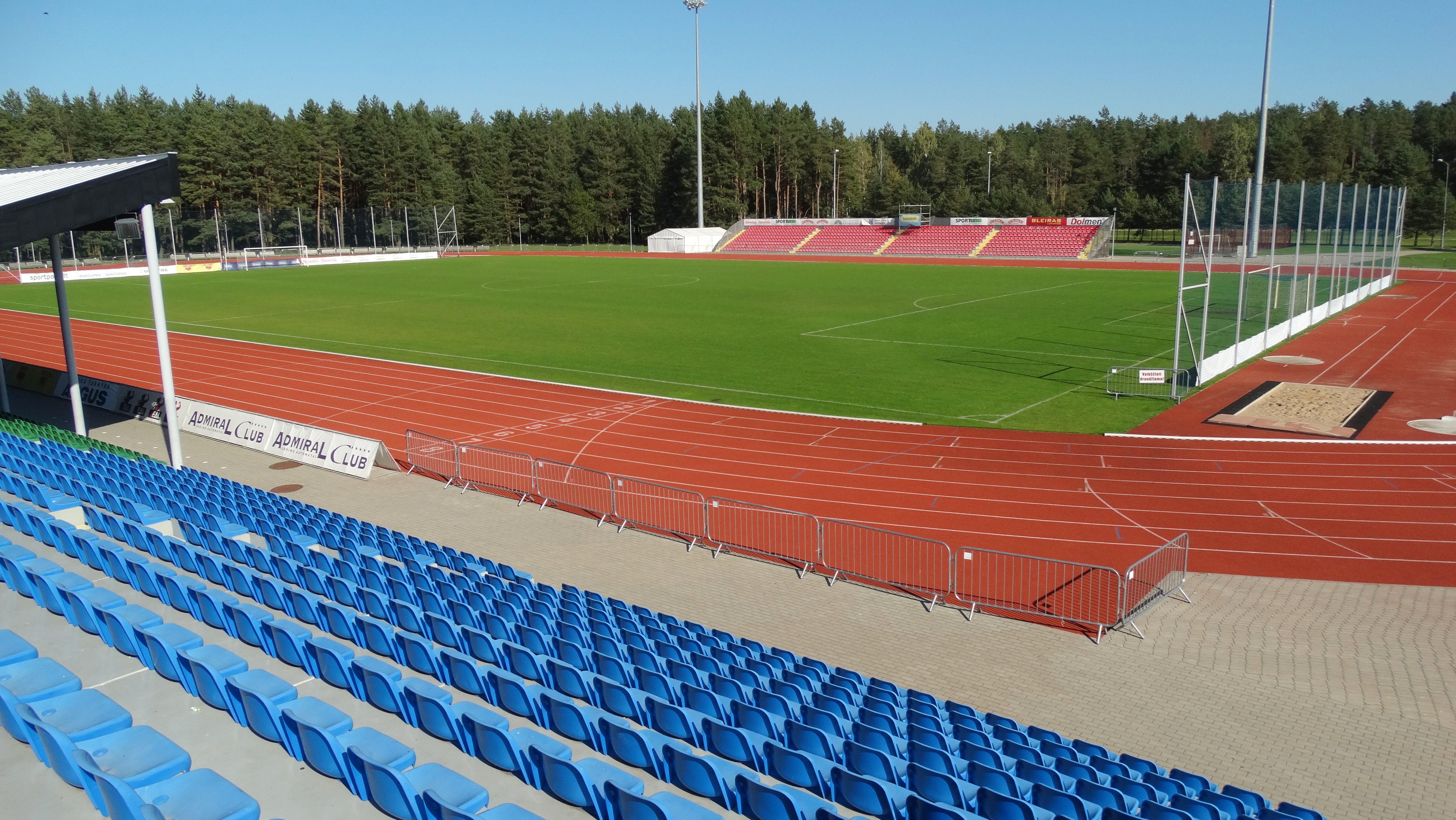
FK Utenis Utena plays in A Lyga and BC Juventus plays in LKL.
Hometown of Jonas Valančiūnas of the Denver Nuggets.
Aidenas Malašinskas is the best handball player in Lithuania (2019, 2021).
Twin towns – sister cities
Utena is twinned with:
- POL Chełm, Poland
- UKR Kovel, Ukraine
- SWE Lidköping, Sweden
- ITA Pontinia, Italy
- LVA Preiļi, Latvia
- LVA Rēzekne, Latvia
- CZE Třeboň, Czech Republic
- PSE Beit Sahour, Palestine
Gallery
File:Utena, Dauniškis ezers - panoramio.jpg|Dauniškis Lake, 2015 File:Dauniskis 2020.jpg|Lake Dauniškis, 2020 File:Utena, tvenkinys.JPG|View of a pond File:Utena. Sentikių cerkvės priekis.JPG|Church of the Old Believers File:Utenos rajono savivaldybė.JPG|Utena City Council File:Utena, Marijos koplyčia.JPG|Memorial for the Lithuanian partisans File:Utena, krašto muziejus.JPG|Museum of local history File:Utena, ekspozicija lauke.JPG|Museum exposition in the city square
References
References
- (2002). "Utenos Enciklopedija (English summary)". Utenos A. ir M. Miškinių viešoji biblioteka.
- "Utena".
- "Utena County - Geography and history".
- "Utenos krašto enciklopedija".
- "Muziejus Utenos Senajame pašte".
- "Utena (Utyan)".
- "During World war II and afterwards".
- "Gyventojų skaičius".
- (2009). "Gyventojų skaičius Utenos apskrityje ir savivaldybėse 2005 - 2009 metų pradžioje". Department of Statistics to the Government of the Republic of Lithuania.
- (2009). "Gyventojų skaičius metų pradžioje. Požymiai: miestas - Rodiklių duomenų bazėje". Department of Statistics to the Government of the Republic of Lithuania.
- "Meteorologiniai rekordai Lietuvoje".
- "Klimato duomenys 1991-2020".
- "Tarptautiniai ryšiai". Utena.
This article was imported from Wikipedia and is available under the Creative Commons Attribution-ShareAlike 4.0 License. Content has been adapted to SurfDoc format. Original contributors can be found on the article history page.
Ask Mako anything about Utena, Lithuania — get instant answers, deeper analysis, and related topics.
Research with MakoFree with your Surf account
Create a free account to save articles, ask Mako questions, and organize your research.
Sign up freeThis content may have been generated or modified by AI. CloudSurf Software LLC is not responsible for the accuracy, completeness, or reliability of AI-generated content. Always verify important information from primary sources.
Report