From Surf Wiki (app.surf) — the open knowledge base
Tair Carn Uchaf
Hill in Carmarthenshire, Wales
Hill in Carmarthenshire, Wales
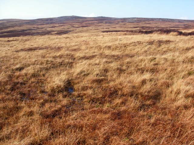
is a hill in the Brecon Beacons National Park () in the county of Carmarthenshire, Wales. Its summit sits atop a plateau-like ridge at 482 m above sea level and is marked by one of the three huge cairns which give the mountain its name.
The main ridge leads southwest towards the subsidiary top of Tair Carn Isaf ("Lower Three Cairns", ), which hosts further cairns. The summit of this top lies at 460 m, whilst a trig point just to its southwest lies at a height of 459 m. To the south of the main ridge lies the subsidiary peak of Drysgol which reaches a height of 393 m.
Geology and drainage

To the south is the Amman Valley into which flow the streams of Nant Pedol and Nant-y-ffin or Berach whilst the Nant Gwythwch drains westwards into the River Loughor. Rainwater falling on the hill's northern slopes is likely to spend part of its journey underground on account of the band of Carboniferous Limestone which sweeps across this area from east to west. Northward drainage is ultimately into the River Loughor and Afon Cennen.
The summit plateau is formed from blocks of the Twrch Sandstone (formerly the 'Basal Grit') of the Marros Group (former 'Millstone Grit Series') deposited during the Carboniferous period. Whilst the general dip of the rock strata is to the south, there are areas which have foundered due to the presence of the soluble limestone not far beneath the surface.
Access
The hill is open country so walkers can roam across it at will. There are public footpaths along its southern margin and a long bridleway crosses the moors to the east of the hill. two minor roads cross its western flanks. The Beacons Way route from Llangadog to Abergavenny runs along the northern flanks of Tair Carn Uchaf.
References
References
- Ordnance Survey Explorer map OL12 'Brecon Beacons National Park: western area'
- British Geological Survey 1:50,000 map sheet 230 'Ammanford'
This article was imported from Wikipedia and is available under the Creative Commons Attribution-ShareAlike 4.0 License. Content has been adapted to SurfDoc format. Original contributors can be found on the article history page.
Ask Mako anything about Tair Carn Uchaf — get instant answers, deeper analysis, and related topics.
Research with MakoFree with your Surf account
Create a free account to save articles, ask Mako questions, and organize your research.
Sign up freeThis content may have been generated or modified by AI. CloudSurf Software LLC is not responsible for the accuracy, completeness, or reliability of AI-generated content. Always verify important information from primary sources.
Report