From Surf Wiki (app.surf) — the open knowledge base
Summerhaven, Arizona
CDP in Pima County, Arizona
CDP in Pima County, Arizona
| Field | Value |
|---|---|
| name | Summerhaven, Arizona |
| settlement_type | Census-designated place |
| image_skyline | Shop in SummerhavenAZ.JPG |
| image_caption | The Summerhaven general store |
| image_map | Pima County Incorporated and Unincorporated areas Summerhaven located.svg |
| map_caption | Location of Summerhaven in Pima County and the state of Arizona |
| pushpin_map | Arizona#USA |
| pushpin_label | Summerhaven |
| pushpin_map_caption | Location in the United States |
| subdivision_type | Country |
| subdivision_type1 | State |
| subdivision_type2 | County |
| subdivision_name | United States |
| subdivision_name1 | Arizona |
| subdivision_name2 | Pima |
| area_total_km2 | 11.93 |
| area_land_km2 | 11.93 |
| area_water_km2 | 0.00 |
| elevation_ft | 7700 |
| population_as_of | 2020 |
| population_total | 71 |
| population_density_km2 | 5.95 |
| timezone | MST |
| utc_offset | -7 |
| postal_code_type | ZIP Code |
| postal_code | 85619 |
| area_code | 520 |
| area_code_type | Area code |
| coordinates | |
| blank_name | GNIS feature ID |
| blank_info | |
| blank1_name | FIPS code |
| blank1_info | 04-70175 |
| unit_pref | Imperial |
| area_footnotes | |
| area_total_sq_mi | 4.60 |
| area_land_sq_mi | 4.60 |
| area_water_sq_mi | 0.00 |
| population_density_sq_mi | 15.42 |
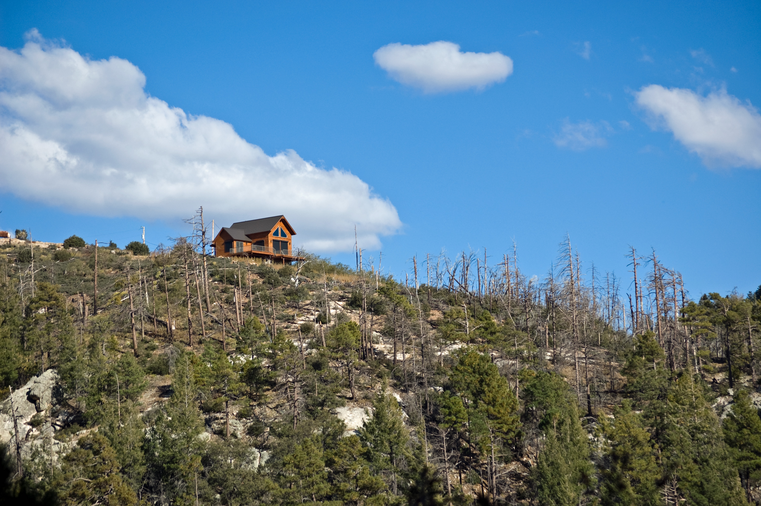
Summerhaven is a small unincorporated community and census-designated place (CDP) on Mount Lemmon in the Santa Catalina Mountains north of Tucson in Pima County, Arizona, United States. As of the 2010 census it had a permanent population of 40. Summerhaven sits at an elevation of approximately 7600 to above sea level. Summerhaven is accessed via the Catalina Highway from suburban northeast Tucson, and it is about 24.5 mi from the base of the mountains to Summerhaven.
History
Americans originally used the area of Summerhaven when the U.S. Army at Fort Lowell in Tucson put a military camp there in its defense against the Apache in the 1870s and 1880s. As to white settlement of the vicinity, the Ransier School in Carter Canyon, run by Lydia Ransier and 'Auntie' Broadbent, had two cabins, the larger log one being built in 1912, "one of the oldest cabins on the mountain."
According to historian David Leighton, Summerhaven at one point had the highest golf links in the world. He wrote, "F.E.A Kimball (namesake of Mount Kimball), head of the Summerhaven Land and Improvement Co. on Mount Lemmon, constructed a six-hole golf links. The course was on 50 acres, a mix of Forest Service and private land, with two trout streams running through the acreage. The links were about 7,800 feet above sea level, making it the highest golf course in the world...."
Geography
Summerhaven is located in the Santa Catalina Mountains and is surrounded by pine trees. According to the U.S. Census Bureau, the Summerhaven CDP has a total area of 11.8 km2, almost all land.
Climate
Due to its high elevation of 8200 ft, Summerhaven experiences moderately warm summers and cool snowy winters. Yearly snowfall averages can be significant, on average reaching 65 in a year. A windstorm hit Summerhaven in May 2010 and caused extensive damage to the forest around it. Some trails were severely damaged, although repair efforts were underway. The climate could be classified as a subtropical highland climate (Cfb).
|Jan record high F =65 |Feb record high F =65 |Mar record high F =68 |Apr record high F =74 |May record high F =82 |Jun record high F =91 |Jul record high F =89 |Aug record high F =82 |Sep record high F =81 |Oct record high F =76 |Nov record high F =71 |Dec record high F =65 |year record high F =91
|Jan record low F =-4 |Feb record low F =-7 |Mar record low F =-1 |Apr record low F =19 |May record low F =27 |Jun record low F =32 |Jul record low F =39 |Aug record low F =42 |Sep record low F =31 |Oct record low F =20 |Nov record low F =4 |Dec record low F =4 |year record low F =-7
Demographics
In 2010, the population of the Summerhaven census-designated place was 40. Note that this includes only people who were living in Summerhaven on the day of the census, thus excluding many part-time or seasonal residents. As of the 2010 census, the racial composition of Summerhaven was:
- White: 75% (Non-Hispanic Whites: 70%)
- Black or African American: 0%
- Native American: 15%
- Asian: 10%
- Native Hawaiian and Other Pacific Islander: 0%
- Some other race: 0%
- Two or more races: 0%
Tourism and recreation
Summerhaven is a popular tourist destination. Several small shops in Summerhaven attract visitors. In the winter, residents from lower elevations travel to Summerhaven, when the Catalina Highway is open, to enjoy the snow. Also during the summer, the same residents will frequent the area to get away from the heat. Because of the elevation difference between the Tucson area (5,000–6,000 feet), the temperature in Summerhaven will be anywhere from 15–30 degrees F cooler depending on weather patterns, which usually makes it a very comfortable place to be compared to the hot desert heat in the summer time.
October 2010 saw the inaugural running of the Mount Lemmon Marathon, in which nearly 800 participants finished the race from near the start of the Catalina Highway up to Summerhaven.
Mount Lemmon Ski Valley
The Mount Lemmon Ski Valley located outside Summerhaven is the southernmost ski location in the continental United States.
Aspen fire

The Aspen wildfire struck Summerhaven in the summer of 2003, which resulted in the destruction of more than 250 of the 700 homes in the community. Arizona Governor Janet Napolitano assessed the damage, and both federal and county officials surveyed the extensive loss. In the months that followed, Tucson residents organized "Lemmon Aid" to help rebuild Summerhaven.
City services
There is a general store and several food venues, but no gasoline or automotive services. The Mount Lemmon Fire Department maintains a station near Summerhaven, providing fire and EMS services.
Education
Summerhaven is not located in a school district; the closest district is Tanque Verde Unified School District.
The Pima County School Superintendent arranges for education of K-12 students living in areas without school districts. No transportation from that office is provided from Tanque Verde USD to Summerhaven.
References
References
- "2020 U.S. Gazetteer Files". United States Census Bureau.
- "Geographic Identifiers: 2010 Demographic Profile Data (G001): Summerhaven CDP, Arizona". U.S. Census Bureau.
- Mary Ellen Barnes, The Road to Mount Lemmon, Univ. Arizona Press, 2009, pp. 8–9"
- Leighton, David. (February 1, 2021). "Street Smarts: The Story Behind Barnum Hill – and golf – in Tucson's Reid Park". Arizona Daily Star.
- "Mount Lemmon, Arizona Climate Summary". Western Regional Climate Center.
- "Mount Lemmon, Arizona Averages". Chinci World Atlas.
- "Census of Population and Housing". Census.gov.
- "Profile of General Population and Housing Characteristics: 2010 Census Summary File 1 (DP-1): Summerhaven CDP, Arizona". U.S. Census Bureau.
- Marc Lacey. (October 17, 2010). "A Finish Line With a Real High: 8,000 Feet". New York Times.
- "SCHOOL DISTRICT REFERENCE MAP (2010 CENSUS): Pima County, AZ". [[U.S. Census Bureau]].
- "Unorganized Territories". Pima County.
This article was imported from Wikipedia and is available under the Creative Commons Attribution-ShareAlike 4.0 License. Content has been adapted to SurfDoc format. Original contributors can be found on the article history page.
Ask Mako anything about Summerhaven, Arizona — get instant answers, deeper analysis, and related topics.
Research with MakoFree with your Surf account
Create a free account to save articles, ask Mako questions, and organize your research.
Sign up freeThis content may have been generated or modified by AI. CloudSurf Software LLC is not responsible for the accuracy, completeness, or reliability of AI-generated content. Always verify important information from primary sources.
Report