From Surf Wiki (app.surf) — the open knowledge base
Smoky Hill River
River in the United States
River in the United States
| Field | Value |
|---|---|
| name | Smoky Hill River |
| name_other | Aahkawirarahkata, Chetolah, Oke-see-sebo, River of the Padoucas |
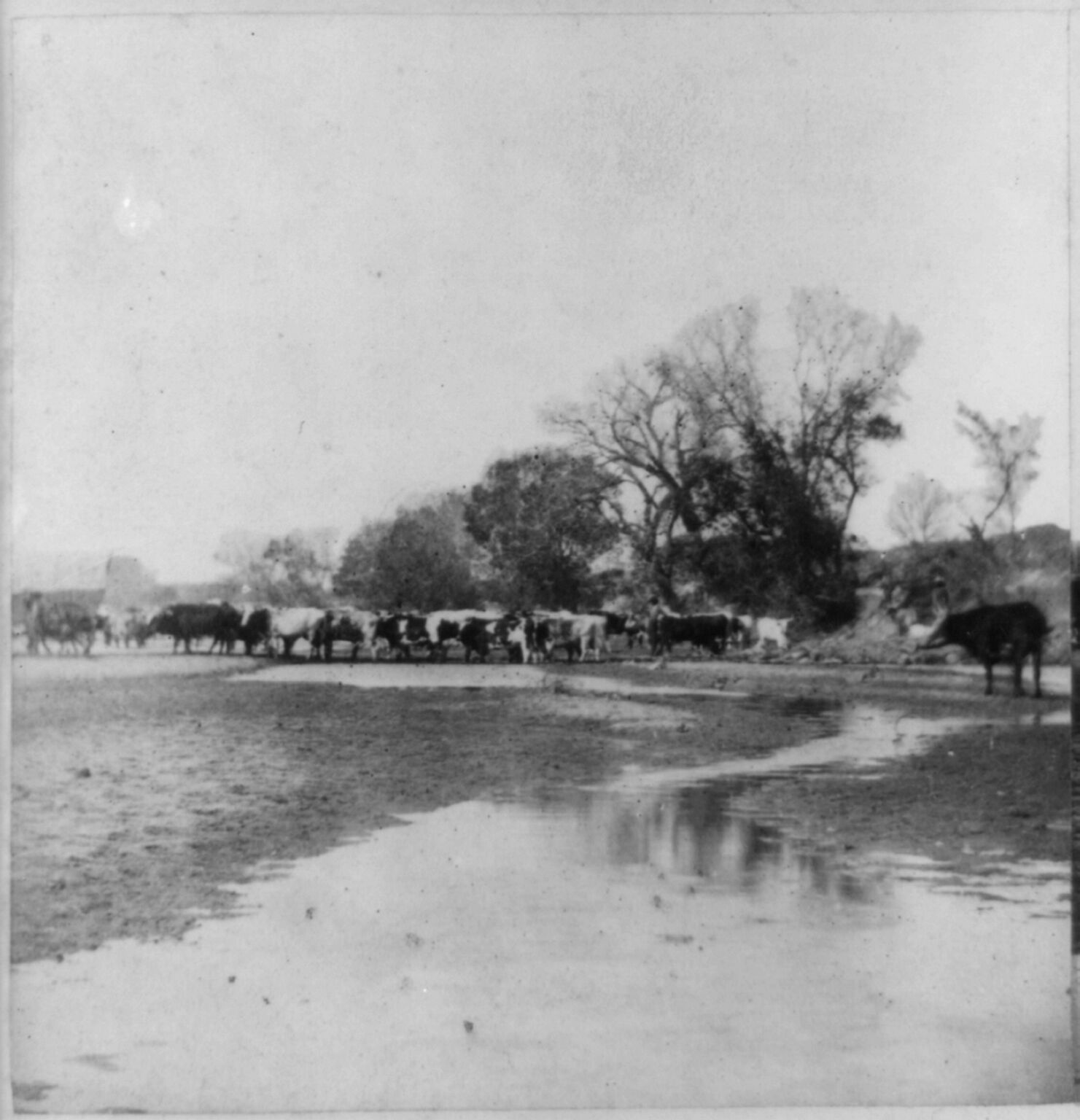
| image | Smoky Hill River-0508.jpg |
| image_caption | Smoky Hill River near Assaria, Kansas |
| map | Smokyhillrivermap.png |
| map_caption | Map of the Smoky Hill drainage basin |
| subdivision_type1 | Country |
| subdivision_name1 | United States |
| subdivision_type2 | State |
| subdivision_name2 | Colorado, Kansas |
| length | 575 mi |
| discharge1_location | USGS 06877600 at Enterprise, KS |
| discharge1_min | 38 cuft/s |
| discharge1_avg | 1540 cuft/s |
| discharge1_max | 207000 cuft/s |
| source1_location | Cheyenne County, Colorado |
| source1_coordinates | |
| source1_elevation | 4640 ft |
| mouth | Kansas River |
| mouth_location | Junction City, Kansas |
| mouth_coordinates | |
| mouth_elevation | 1040 ft |
| basin_size | 19260 sqmi |
| tributaries_left | North Fork Smoky Hill River, Big Creek, |
| Saline River, Solomon River | |
| tributaries_right | Ladder Creek |
| custom_label | Watersheds |
| custom_data | Smoky Hill-Kansas-Missouri-Mississippi |
Saline River, Solomon River
The Smoky Hill River is a 575 mi river in the central Great Plains of North America, running through Colorado and Kansas.
Names
The Smoky Hill is named from the Smoky Hills region of north-central Kansas through which it flows. American Indians living along the Smoky Hill considered it and the Kansas River to be the same river, and their names for it included Chetolah and Okesee-sebo. Early maps of European explorers called the river (also in combination with the Kansas River) the River of the Padoucas as its source is located in what was then Padouca (Comanche) territory.
The USGS lists several other names, including Chitolah River, Fork of the Hill Buckaneuse, La Fourche de la Cote Boucaniere, La Touche de la Cote Bucanieus, Manoiyohe, Pe P'a, Sand River, Shallow River, Smoky Creek, Branche de la Montagne a la Fumee, Ka-i-urs-kuta, Oke-see-sebo River, and Rahota katit hibaru.
Geography
The Smoky Hill River originates in the High Plains of eastern Colorado and flows east. Both the main course of it and of the North Fork Smoky Hill River rise in northern Cheyenne County, Colorado. The two streams converge roughly 5 mi west of Russell Springs in Logan County, Kansas. The Solomon River joins the Smoky Hill River in western Dickinson County. The Smoky Hill River joins the Republican River at Junction City, Kansas to form the Kansas River.
The Smoky Hill River directly drains an area of 8810 sqmi. The combined Smoky Hill-Saline Basin drains 12229 sqmi. The entire Smoky Hill drainage basin covers approximately 20000 sqmi, including most of north-central and northwestern Kansas. Via the Kansas and Missouri Rivers, the Smoky Hill River is part of the Mississippi River watershed.
The Smoky Hill River feeds two reservoirs: Cedar Bluff Reservoir in Trego County and Kanopolis Lake in Ellsworth County.
The largest city along the Smoky Hill River is Salina, and other Kansas municipalities include Junction City, Ellsworth, Marquette, Lindsborg, and Abilene.
History
The earliest known reference to the river is on a 1732 map by French cartographer Jean Baptiste Bourguignon d'Anville who labeled it the "River of the Padoucas". A 1758 map referred to it as the "Padoucas River". An early reference to the river as the Smoky Hill was by American explorer Zebulon Pike during his 1806 expedition to visit the Pawnee.
With the onset of the Pike's Peak Gold Rush in 1858, an ancient American Indian trail along the river known as the Smoky Hill Trail provided the shortest, fastest route west across Kansas. Beginning in 1865, the trail was the route for the short-lived Butterfield Overland Despatch. Before American colonization, the land along the Smoky Hill River was favored hunting ground for the Plains Indians. In 1867, the Comanche and the Kiowa, and in 1868, the Sioux and the Arapaho signed treaties withdrawing their opposition to the construction of a railroad along the Smoky Hill River.
Former Danish labour leader Louis Pio founded a short-lived socialist colony in the area in 1877.
In 1948, the U.S. Army Corps of Engineers finished construction of a dam on the Smoky Hill for flood control in southeastern Ellsworth County creating Kanopolis Lake. In 1951, the United States Bureau of Reclamation completed another dam on the river, for irrigation and flood control, in southeastern Trego County, Kansas, which created Cedar Bluff Reservoir.
References
References
- "Water resources data for the United States, Water Year 2009; gage 06877600, Smoky Hill River at Enterprise, KS". [[USGS]].
- {{GNIS. 485314. Smoky Hill River
- "National Hydrography Dataset". [[United States Geological Survey]].
- "Smoky Hill River {{!}} Kansas, Saline, Republican {{!}} Britannica".
- Root, George A.. (February 1935). "Ferries in Kansas, Part VI -- Smoky Hill River". Kansas Historical Quarterly.
- {{GNIS. 485218. North Fork Smoky Hill River
- From there, the river continues generally eastward through the Smoky Hills region. The [[Saline River (Kansas). Saline River]] joins it in eastern [[Saline County, Kansas. 485315. Saline River
- {{GNIS. 482755. Solomon River
- "Smoky Hill-Saline Basin". Kansas Water Office.
- (1912). "Kansas: a cyclopedia of state history, embracing events, institutions, industries, counties, cities, towns, prominent persons, etc.". Standard.
- "KDOT Official Transportation Map 2015-2016". Kansas Department of Transportation.
- Gower, Calvin W.. (Spring 1967). "Kansas Territory and Its Boundary Question: "Big Kansas" or "Little Kansas"". Kansas Historical Quarterly.
- Gower, Calvin W.. (Summer 1959). "The Pike's Peak Gold Rush and the Smoky Hill Route, 1859–1860". Kansas Historical Quarterly.
- "Smoky Hill Trail : History". Cherry Creek Valley Historical Society.
- https://homesteadontherange.com/2016/05/10/8-utopian-experiments-in-kansas/ accessed May 28, 2025
- "History of Kanopolis Dam". [[U.S. Army Corps of Engineers]].
- "Cedar Bluff Unit Project". [[United States Bureau of Reclamation.
This article was imported from Wikipedia and is available under the Creative Commons Attribution-ShareAlike 4.0 License. Content has been adapted to SurfDoc format. Original contributors can be found on the article history page.
Ask Mako anything about Smoky Hill River — get instant answers, deeper analysis, and related topics.
Research with MakoFree with your Surf account
Create a free account to save articles, ask Mako questions, and organize your research.
Sign up freeThis content may have been generated or modified by AI. CloudSurf Software LLC is not responsible for the accuracy, completeness, or reliability of AI-generated content. Always verify important information from primary sources.
Report