From Surf Wiki (app.surf) — the open knowledge base
San Juan Ixcoy
| Field | Value | |
|---|---|---|
| official_name | San Juan Ixcoy | |
| other_name | Yich Kʼox | |
| native_name | ||
| settlement_type | Municipality | |
| dot_x | dot_y = | |
| pushpin_map | Guatemala | |
| pushpin_label_position | bottom | |
| pushpin_map_caption | Location in Guatemala | |
| subdivision_type | Country | |
| subdivision_name | [[Image:Flag of Guatemala.svg | 25px]] Guatemala |
| subdivision_type1 | Department | |
| subdivision_name1 | [[Image:Flag of Huehuetenango Department.svg | 25px]] Huehuetenango |
| subdivision_type2 | Municipality | |
| subdivision_name2 | San Juan Ixcoy | |
| government_type | Municipal | |
| leader_title | Mayor | |
| leader_title1 | ||
| established_title | ||
| established_title2 | ||
| established_title3 | ||
| unit_pref | ||
| area_total_km2 | 224 | |
| area_land_km2 | ||
| population_as_of | Census 2002 | |
| population_footnotes | ||
| population_total | 19367 | |
| population_urban | 2185 | |
| population_blank1_title | Ethnicities | |
| population_blank1 | Q'anjob'al (90%), Mam (7%), Akatek (2%), Ladino (1%) | |
| population_blank2_title | Religions | |
| population_blank2 | Roman Catholicism, Evangelicalism, Maya | |
| coordinates | ||
| elevation_footnotes | tags-- | |
| elevation_max_m | 2000 | |
| elevation_min_m | 1500 | |
| postal_code_type | ||
| blank_name | Climate | |
| blank_info | Cwb | |
| website | [Municipal site](http://www.inforpressca.com/sanjuanixcoy/) |
San Juan Ixcoy (also known as Yich Kʼox in Qʼanjobʼal) is a municipality in the Guatemalan department of Huehuetenango. The municipality covers an area of 224 km2 and is formed by the town of San Juan Ixcoy, 11 villages and 33 caserios (rural communities). Its population of 19,367 (in 2002) is predominantly of Maya Q'anjob'al descent.
San Juan Ixcoy is located in the Sierra de los Cuchumatanes range and borders with the municipalities of Soloma and Santa Eulalia in the North, Chiantla in the South and Nebaj in the East. By road, San Juan Ixcoy is directly served by RN-9-N. No rail transport exists nearby, and while there is an airport in Quetzaltenango, the closest international airport is La Aurora International Airport.
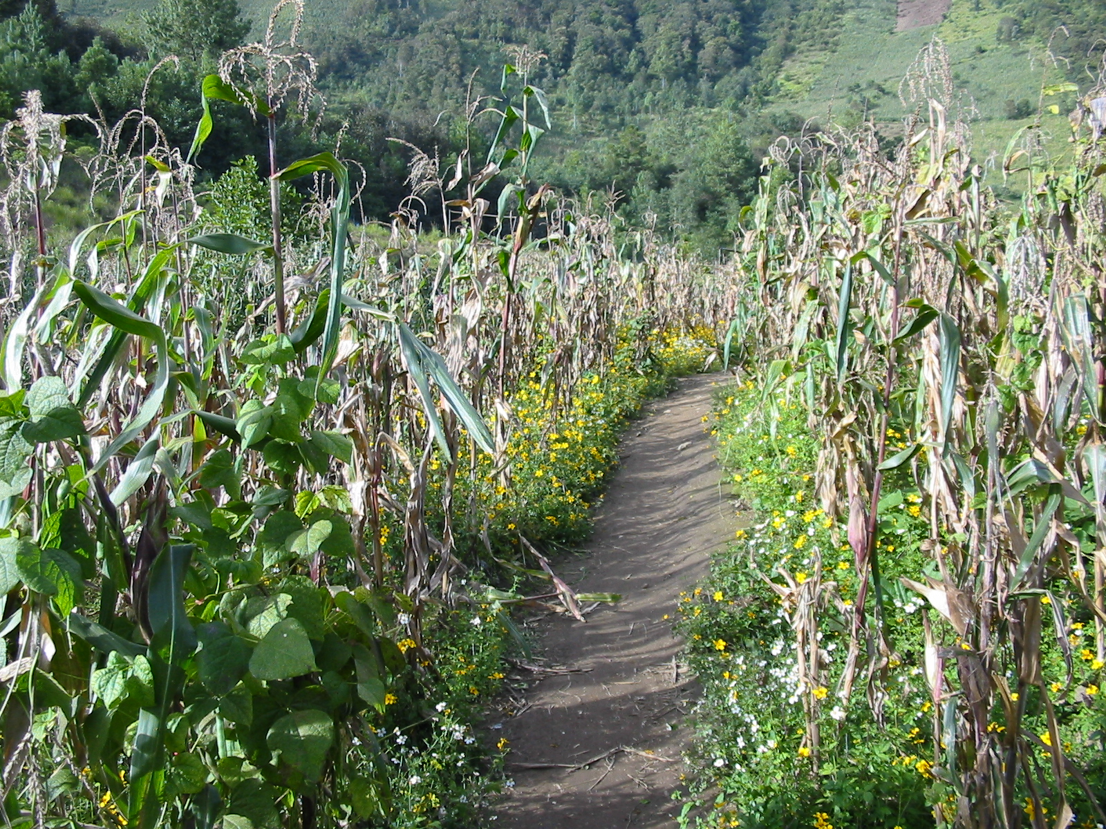
Most households depend on subsistence agricultural and produce maize, beans and ayote (Cucurbita argyrosperma), as well as potatoes, wheat, and horticultural products. Artesanal production of textiles and traditional crafts adds to household income. Other economic activities include labour migration to the large plantations on the Guatemalan south coast and in some cases to the United States.
References
References
- (2002). "XI Censo Nacional de Poblacion y VI de Habitación (Censo 2002)". INE.
- "San Juan Ixcoy - Cultura".
- "San Juan Ixcoy - Economía".
This article was imported from Wikipedia and is available under the Creative Commons Attribution-ShareAlike 4.0 License. Content has been adapted to SurfDoc format. Original contributors can be found on the article history page.
Ask Mako anything about San Juan Ixcoy — get instant answers, deeper analysis, and related topics.
Research with MakoFree with your Surf account
Create a free account to save articles, ask Mako questions, and organize your research.
Sign up freeThis content may have been generated or modified by AI. CloudSurf Software LLC is not responsible for the accuracy, completeness, or reliability of AI-generated content. Always verify important information from primary sources.
Report