From Surf Wiki (app.surf) — the open knowledge base
San Juan Bautista Coixtlahuaca
| Field | Value | |
|---|---|---|
| name | San Juan Bautista Coixtlahuaca | |
| settlement_type | Municipality and town | |
| native_name | ||
| mapsize | 200px | |
| map_caption | Location of the municipality in Oaxaca | |
| dot_x | dot_y = | |
| pushpin_map | Mexico | |
| pushpin_label_position | above | |
| pushpin_map_caption | Location in Mexico | |
| subdivision_type | Country | |
| subdivision_name | Mexico | |
| subdivision_type1 | State | |
| subdivision_name1 | Oaxaca | |
| leader_title1 | ||
| established_title | ||
| established_title2 | ||
| established_title3 | ||
| area_total_km2 | 17.26 | |
| area_land_km2 | ||
| population_as_of | 2005 | |
| population_total | 2863 | |
| timezone | Central Standard Time | |
| utc_offset | -6 | |
| timezone_DST | Central Daylight Time | |
| utc_offset_DST | -5 | |
| coordinates | ||
| elevation_footnotes | ||
| postal_code_type |
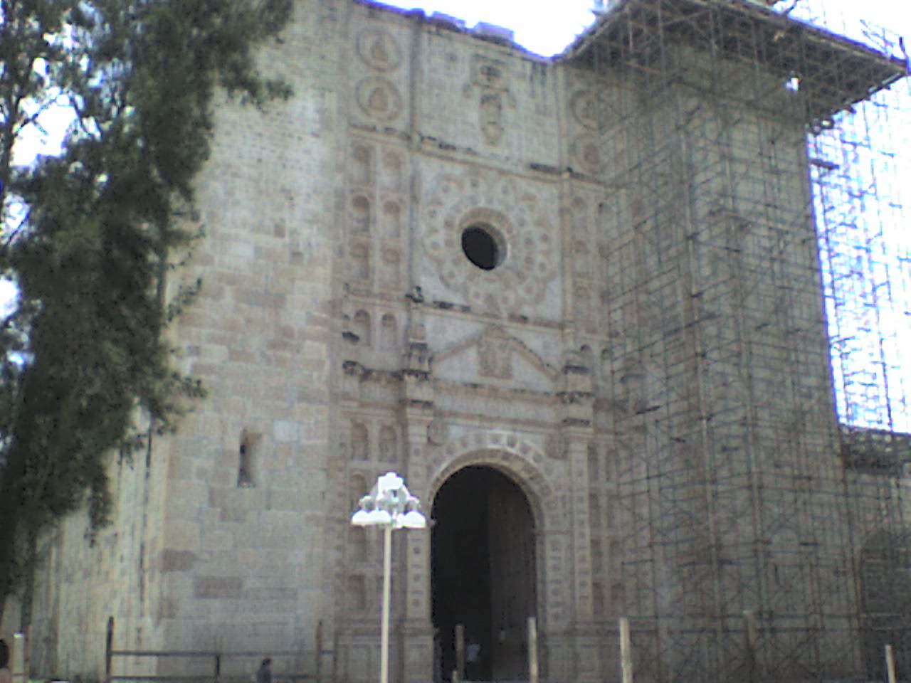
San Juan Bautista Coixtlahuaca is a small town and municipality located in the Mixteca Region of the State of Oaxaca, Mexico, and the center of the Coixtlahuaca district. The name "Coixtlahuaca" means 'plain of snakes' in the Nahuatl language. One of the most significant indigenous pictorial manuscripts from the region is the Lienzo Seler Coixtlahuaca II.
Town
The town was founded by the Chocholtecs in 37 AD. Their last emperor was Atonaltzin, who fought against the Mexicas. He was defeated twice, the second by Moctezuma II, who conquered much of the area.{{cite web
It is located in the northeast part of the state of Oaxaca, 2,100 meters above sea level near the Cuacnopalan-Oaxaca highway.{{cite journal
Municipality
As municipal seat, San Juan Bautista Coixtlahuaca has governing jurisdiction over the following communities:
- Barrio de Magdalena
- Boca de Perro
- Carrizal
- Cerro de Agua (Tercera Sección)
- Cerro el Águila
- Cuesta Blanca
- El Cachuche
- El Capulín (Sección Primera)
- El Guajolote
- El Portezuelo
- El Sotol
- El Tepozán (Sección Segunda)
- El Zapato
- El Zapotal (Sección Tercera)
- Estancia
- Ixcate
- Jazmín Río Poblano
- La Ciénega
- La Cruz
- La Mulata
- Laguna Seca
- Narrege
- Río Blanco
- Río Poblano
- San Jerónimo Otla
- Santa Catarina Ocotlán
- Sección Cuarta (Los Rodríguez)
- Tecamachalco
- Tronco del Río
- Zacate Amarillo
References
References
This article was imported from Wikipedia and is available under the Creative Commons Attribution-ShareAlike 4.0 License. Content has been adapted to SurfDoc format. Original contributors can be found on the article history page.
Ask Mako anything about San Juan Bautista Coixtlahuaca — get instant answers, deeper analysis, and related topics.
Research with MakoFree with your Surf account
Create a free account to save articles, ask Mako questions, and organize your research.
Sign up freeThis content may have been generated or modified by AI. CloudSurf Software LLC is not responsible for the accuracy, completeness, or reliability of AI-generated content. Always verify important information from primary sources.
Report