From Surf Wiki (app.surf) — the open knowledge base
Roosevelt Road
Street in Chicago, Illinois, United States
Street in Chicago, Illinois, United States
| Field | Value |
|---|---|
| name | Roosevelt Road |
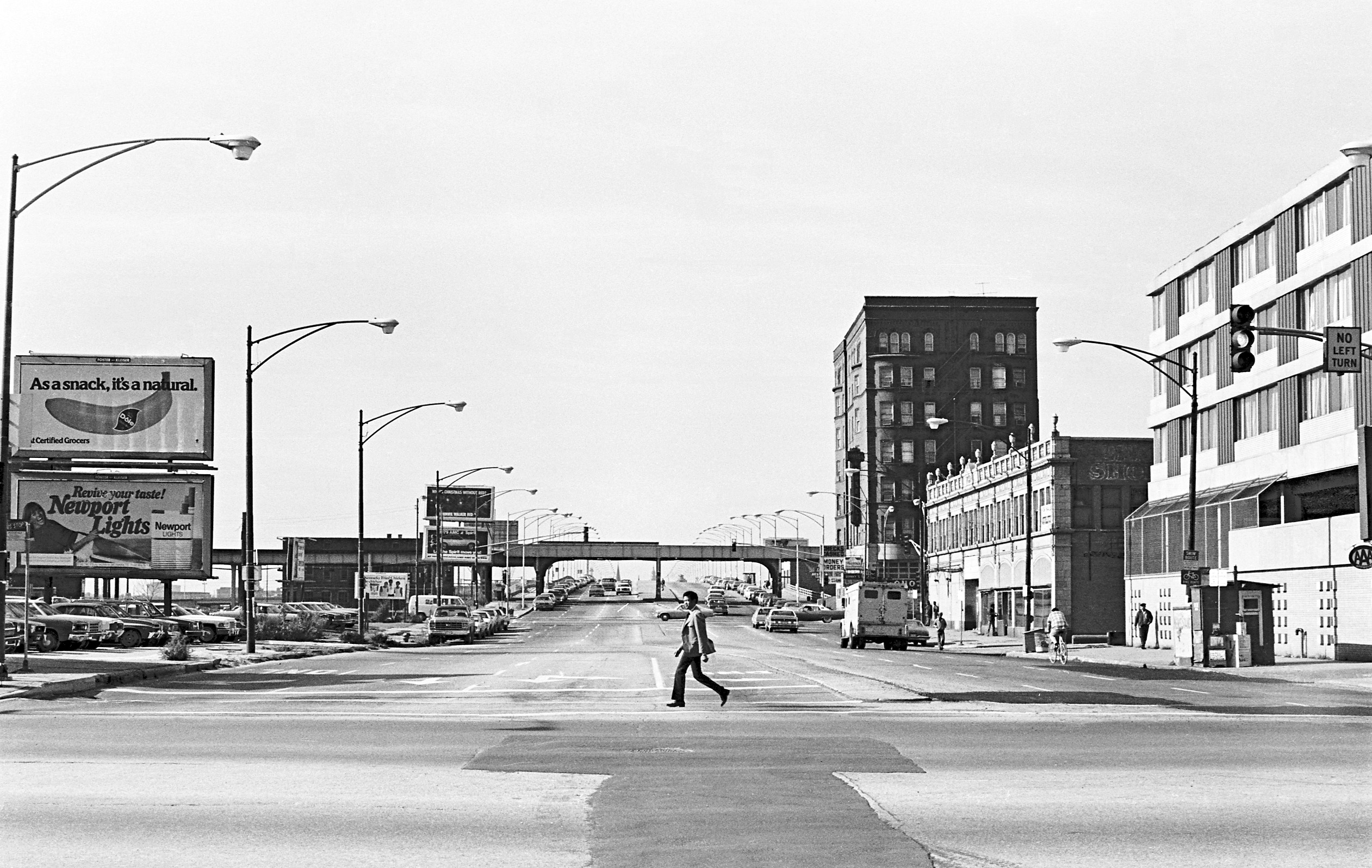
| image | File:South Branch Chicago River 2023l.jpg |
| caption | The bridge in 2023 |
| alternate_name | Theodore Roosevelt Memorial Highway |
| 1200 South | |
| former_names | 12th Street |
| part_of | |
| direction_a | East |
| terminus_a | Lake Shore Drive (300 E) in Chicago |
| direction_b | West |
| terminus_b | Geneva-West Chicago city line (Kautz Road) |
| location | Kane, DuPage, and Cook counties in Illinois, United States |
1200 South
Roosevelt Road (originally named 12th Street) is a major east-west street in the city of Chicago, Illinois, and its western suburbs. It is 1200 South in the city's street numbering system, but only 1 mi south of Madison Street. It runs under this name from Columbus Drive at the southern end of Grant Park to the western city limits, then continues through the western suburbs including Lombard, Wheaton and, West Chicago until it reaches Geneva, where it is known as State Street.
History
12th Street was renamed to Roosevelt Road on May 25, 1919, in recognition of President Theodore Roosevelt, who had died the previous January. In 1928, the new U.S. Route 330 (US 330), a different alignment of US 30, went down Roosevelt Road to Geneva, which was originally designated as SBI Route 6. In 1942 it was redesignated as US 30 Alternate. In 1972, after the route had been discontinued, Roosevelt Road outside Chicago became Illinois Route 38.
Route

In Grant Park (for which it serves as the southern boundary west of Lake Shore Drive), it is named Roosevelt Drive. The road begins at Lake Shore Drive and heads west, forming the southern boundary of the Chicago Loop. The area between Clark Street (100 W) and Jefferson Street (600 W) is a fast-growing commercial district, mostly home to large chain stores, including Best Buy, The Home Depot, Staples, Whole Foods Market and Target. This area used to be and remains to a lesser extent, a major fabric retail area. The famous Maxwell Street Market can be found just south of Roosevelt at Canal Street (500 W). Continuing west, it passes the University of Illinois at Chicago's two campuses and St. Ignatius College Preparatory School between Halsted Street and Damen Avenue. It also passes Douglass Park at California Avenue. Once past Mannheim Road it becomes Illinois Route 38.
Transportation
Among the few Chicago Transit Authority bus routes, Roosevelt Road is primarily served by 12 Roosevelt, which runs from the Central Station development to a bus terminal at Central Avenue/Harrison Street in Columbus Park. This was an electric trolley bus line from May 1953 until January 1973.
In the suburbs, Roosevelt Road is also served by a few Pace bus routes. 301 Roosevelt Road is a Pace bus route that runs from Wheaton station on Metra's Union Pacific West Line (from the new DuPage County Courthouse further west under limited service) to Forest Park station on the Blue Line. Aside from the bus route's termini, the route deviates from Roosevelt Road to serve Oakbrook Center and the Hillside Park-n-Ride near Darmstadt Road/Wolf Road. 305 East Roosevelt Road is another Pace bus route that runs from Forest Park station to Cicero station, both of which are on the Blue Line; this route parallels the Blue Line. 308 Medical Center runs along Roosevelt Road to connect from Forest Park station to Hines VA Hospital and Loyola University Medical Center.
The Chicago 'L' Roosevelt station is a stop and transfer point on the Red, Green and Orange lines. The former Roosevelt Road station on the Metra Electric Line has been replaced with the Museum Campus/11th Street station.
Major intersections
Notes
References
References
- Hayner, Don and Tom McNamee, ''Streetwise Chicago'', "Roosevelt Drive/Roosevelt Road", p. 110, Loyola University Press, 1988, {{ISBN. 0-8294-0597-6
- Broden, Scott. (19 Feb 1995). "By The Numbers - Where Did Those Street Designations Come From?". Chicago Tribune.
- (8 May 1919). "Alderman vote Twelfth street Roosevelt road". Chicago Daily Tribune.
- {{Illinois road map. (1927)
- {{Illinois road map. (1928)
- {{Illinois road map. (1941)
- {{Illinois road map. (1942)
- {{Illinois road map. (1971)
- {{Illinois road map. (1972)
- (February 2024). "RTA System Map".
- [[Mac Sebree. Sebree, Mac]]; and Ward, Paul (1974). ''The Trolley Coach in North America'', pp. 56–58. Los Angeles: [[Interurban Press. Interurbans]]. LCCN 74-20367.
- "Overview Map of Roosevelt Road".
This article was imported from Wikipedia and is available under the Creative Commons Attribution-ShareAlike 4.0 License. Content has been adapted to SurfDoc format. Original contributors can be found on the article history page.
Ask Mako anything about Roosevelt Road — get instant answers, deeper analysis, and related topics.
Research with MakoFree with your Surf account
Create a free account to save articles, ask Mako questions, and organize your research.
Sign up freeThis content may have been generated or modified by AI. CloudSurf Software LLC is not responsible for the accuracy, completeness, or reliability of AI-generated content. Always verify important information from primary sources.
Report