From Surf Wiki (app.surf) — the open knowledge base
Pecos River
River in New Mexico and Texas, United States

River in New Mexico and Texas, United States
| Field | Value |
|---|---|
| name | Pecos River |
| name_other | *Río Pecos* |
| *Río Natagés* | |
| image | Pecos river bridge.jpg |
| image_caption | Pecos River High Bridge, near Langtry, Val Verde County, Texas |
| image_size | 300 |
| map | Pecosmap.png |
| map_size | 300 |
| map_caption | Map of the Pecos River watershed. |
| pushpin_map_size | 300 |
| subdivision_type1 | Country |
| subdivision_name1 | United States |
| subdivision_type2 | State |
| subdivision_name2 | Texas, New Mexico |
| length | 926 mi |
| discharge1_location | IBWC station 08-4474.10 near Langtry, Texas |
| discharge1_min | 42 cuft/s |
| discharge1_avg | 265 cuft/s |
| discharge1_max | 152910 cuft/s |
| source1 | Pecos Falls |
| source1_location | 29 mi north of Pecos, New Mexico |
| source1_coordinates | |
| source1_elevation | 11759 ft |
| mouth | Rio Grande |
| mouth_location | Seminole Canyon, Val Verde County, 37 mi northwest of Del Rio, Texas |
| mouth_coordinates | |
| mouth_elevation | 1115 ft |
| basin_size | 44402 sqmi |
| extra | {{Designation list |
| embed | yes |
| designation1 | nwsr |
| designation1_type | Wild, Recreational |
| designation1_date | June 6, 1990 |
Río Natagés The Pecos River ( ; ) originates in north-central New Mexico and flows into Texas, emptying into the Rio Grande. Its headwaters are on the eastern slope of the Sangre de Cristo mountain range in Mora County north of Pecos, New Mexico, at an elevation of over 12,000 feet (3,700 m). The river flows for 926 miles (1,490 km) before reaching the Rio Grande near Del Rio. Its drainage basin encompasses about 44,300 square miles (115,000 km2).
The name "Pecos" [p'æyok'ona], derives from the Keresan (Native American language) term for the Pecos Pueblo, c[p'æyok'ona]. The river was also historically referred to as the Río Natagés for the Mescalero people.
History
The river was the eastern territory of the Faraon (‘Pharaoh’) Apache Indians, a tribe of Apache, probably closely related to the Mescalero Apache, if not part of them. Their divisions were Ancavistis, Jacomis, Orejones, Carlanes, and Cuampes, but of these the Carlanes at least belonged to the Jicarillas. The river later played a large role in the exploration of Texas by the Spanish. In the latter half of the 19th century, "West of the Pecos" was a reference to the rugged desolation of the Wild West. New Mexico and Texas disputed water rights to the river until the U.S. government settled the dispute in 1949 with the Pecos River Compact. The Pecos River Settlement Agreement was signed between New Mexico and Texas in 2003.Pecos River Settlement Agreement
Dams
Multiple dams have been built along the Pecos River. Santa Rosa Lake is 117 miles/188 km east of Albuquerque. Sumner Lake, formed by the 1939 Sumner Dam, is located between Santa Rosa and Fort Sumner, New Mexico. Two dams are located north of Carlsbad, New Mexico, at Avalon Dam and Brantley Dam, to help irrigate about 25000 acre as part of the Carlsbad reclamation project (established in 1906). Texas has also dammed the river at the Red Bluff Dam in the western part of that state to form the Red Bluff Reservoir. The portion of the reservoir that extends into New Mexico forms the lowest point in that state.
Wild and Scenic River
On June 6, 1990, 20.5 mi of the Pecos River—from its headwaters to the townsite of Tererro—received National Wild and Scenic River designation. It includes 13.5 mi designated "wild" and 7 mi designated "recreational".
File:Pecos1.jpg|Pecos River between Terrerro and Pecos, New Mexico File:Grandfalls Texas Pecos River 2010.jpg|The Pecos River flowing south of Grandfalls, Texas File:Pecos River.jpg|Pecos River near the Rio Grande File:Pecos River Bridge.jpg|Pecos River Highway Bridge
Pecos River Flume
The Pecos River Flume is an aqueduct carrying irrigation water over the Pecos River. Construction took place from 1889 to 1890 and was part of the Pecos River Reclamation Project. It was originally constructed of wood and spanned 145 ft. It carried water at a depth of 8 ft. In 1902, a flood destroyed the flume and it was subsequently rebuilt using concrete. In 1902, it was identified as the largest concrete aqueduct in the world.
The flume and its surrounding area have been reclaimed by the city of Carlsbad and transformed into a tourist attraction, with park improvements along the river and spotlights to give a spectacular nightly view.
References
References
- (2005). "Water Bulletin Number 75: Flow of the Rio Grande and Related Data; From Elephant Butte Dam, New Mexico to the Gulf of Mexico". [[International Boundary and Water Commission]].
- {{Gnis. 1384150. Pecos River
- (23 September 2014). "How to Pronounce: P Cities". texastripper.com.
- "Office of the State Engineer :: Interstate Stream Commission :: Basins and Programs :: Pecos River Basin".
- [https://pubs.usgs.gov/of/1987/ofr87-242/ Largest Rivers of the United States], USGS
- Bright, William. (2004). "Native American placenames of the United States". University of Oklahoma Press.
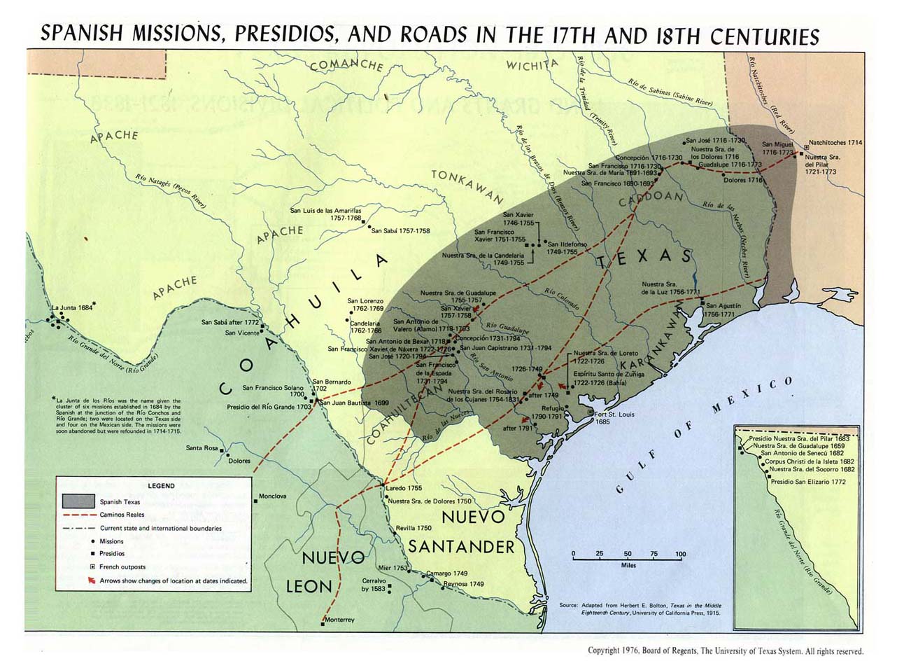
- "Spanish missions, presidios, and roads in the 17th and 18th centuries".
- "Pecos River Compact".
- "EMNRD".
- "EMNRD".
- [http://www.rivers.gov/wsr-pecos.html Pecos Wild and Scenic River, New Mexico] {{webarchive. link. (2010-06-10 - National Wild and Scenic Rivers System)
- (June 2003). "Traveling New Mexico: a guide to the historical and state park markers". Sunstone Press.
- American Concrete Institute. (2002). "Concrete international. Design & construction". The Institute.
This article was imported from Wikipedia and is available under the Creative Commons Attribution-ShareAlike 4.0 License. Content has been adapted to SurfDoc format. Original contributors can be found on the article history page.
Ask Mako anything about Pecos River — get instant answers, deeper analysis, and related topics.
Research with MakoFree with your Surf account
Create a free account to save articles, ask Mako questions, and organize your research.
Sign up freeThis content may have been generated or modified by AI. CloudSurf Software LLC is not responsible for the accuracy, completeness, or reliability of AI-generated content. Always verify important information from primary sources.
Report