From Surf Wiki (app.surf) — the open knowledge base
Morrocoy National Park
Venezuelan protected area

Venezuelan protected area
| Field | Value |
|---|---|
| name | Morrocoy National Park |
| iucn_category | II |
| photo | Cocotero_en_Cayo_Sombrero.jpg |
| photo_caption | Cay Sombrero |
| map | Venezuela |
| relief | yes |
| map_caption | Location in Venezuela |
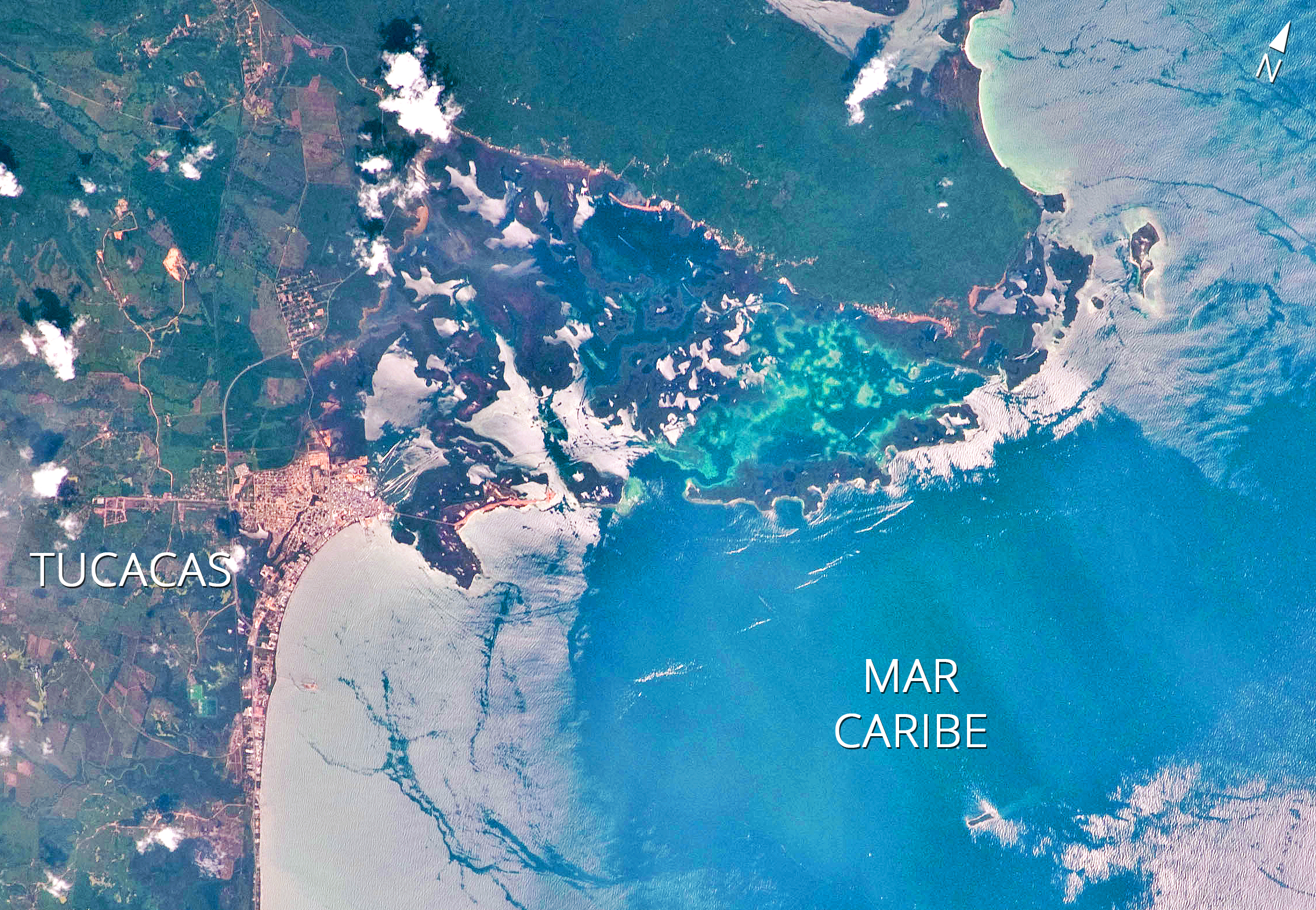
| nearest_city | Tucacas and Chichiriviche |
| coordinates | |
| area | 320.9 km2 |
| established | 26 May 1974 |
| governing_body | INPARQUES |
Morrocoy National Park lies on the east coast of Falcón State and the north-west side of Golfo Triste, on the west central Venezuelan coast, near the towns of Boca de Aroa, Tucacas, Sanare, Chichiriviche, and Tocuyo de la Costa. It was declared a national park on 26 May 1974. The park's wildlife has suffered from human activity, and there has been a significant decline in coral species in recent years.
Geography
The park extends across both terrestrial and aquatic areas of Golfo Triste. It covers 32,090 ha. It contains an area of mangroves and numerous islets or cays, including Borracho, Muerto, Sombrero, Sal, Las Animas, and Peraza. White sand beaches on these cays include Mero, Paiclas, Los Juanes, Playuela, Tucupido, Azul and Boca Seca.
The park's bays, mangroves, cays and islands sit in the shadow of the Chichiriviche hills, with elevations up to around 250 m. At 285 m high, Chichiriviche Hill is the highest point in the park. It stands amid the surrounding coastal environment of Tertiary-period coral origin, belonging to the Capadare - Agua Linda limestone geological formation.
Climate
The warm tropical climate is influenced by the north-east trade winds, with low rates of precipitation. Temperatures are relatively uniform throughout the year between 27 and 35 °C. In cold weather, it can drop to between 23-26 °C. The rainiest period extends from August to December, particularly in November and December.
Environment
Flora
The flora corresponds to the area of tropical dry forests. The vegetation is quite varied and is closely associated with geomorphological positions, the most important subsets being the coast, coastal lagoons, marshes, saline shoals, cays and shallow seabed. It ranges from evergreen plants, such as olives, to deciduous plants such as Bursera simaruba. Plants, such as glass grass, are adapted to high salinity soils. Continuing toward Mayorquina on the eastern slopes of the Chichiriviche hills, the xerophytic vegetation of the cactus family can be seen.
Red, black, white and buttonwood mangroves are the dominant vegetation and landscape of the park and form a unit that preserves the ecologically fragile balance of the coastline in an area of about 4,500 ha. Among the underwater marine growth is a wide variety of algae as well as seagrass, a favorite food of the green turtle.
Fauna

The park is inhabited by about 266 species of birds, as reported by the Cuare Wildlife Refuge. Because Morrocoy National Park and Wildlife Refuge Cuare are located in the same geographic area, it is inferred that the avifauna has a similar composition. Some notable bird species are the osprey; vulnerable species such as American flamingo, tricolored heron and brown pelican; species whose preferred habitat is the mangrove such as neotropic cormorant, snowy egret, scaled piculet, orange-winged amazon and scarlet ibis; and species with restricted distribution such as the magnificent frigatebird.
The mangroves of Morrocoy Bay act as bird sanctuaries, especially on the mangrove-covered island of Pájaros in the central area of the park. Morrocoy has been designated an Important Bird Area (IBA) by BirdLife International because it supports significant populations of many bird species.
Mammals include the dolphins and whales that use the park as a refuge. Land mammals are found mainly in the Chichiriviche Hill area, including brocket and white-tailed deer, anteaters, crab-eating foxes, howler monkeys, three-toed sloths, opossums, pacas, agoutis and peccaries. Marine reptiles include various turtle species such as green, hawksbill, leatherback and olive ridley sea turtles as well as the American crocodile, all considered threatened.
Fish breeding in the park include grouper, snapper, corvina, tarpon, snook, toadfish, school shark, sardines, mackerel, grunt, barracuda and the many species that inhabit the coral reefs. Shellfish species are the mangrove oyster, sea hares, quigua, spiny lobsters (Panulirus argus and Panulirus guttatus), blue and red crabs and other species. There is also a diverse range of insects.
Access

From Caracas, one takes the Central Regional Highway past Guacara (approximately 140 km). A variant is taking the highway via Yagua to Puerto Cabello. In the Morón, one takes the highway Morón-Tucacas and, after traveling 40 km, one reaches the entrance to Morrocoy National Park.
Tourist activities

Morrocoy National Park has a wide range of landscapes. Beaches include Sombrero Cay, Playuela, Playuelita, Alemán Cay, Mayorquina, Pescadores Cay, Mero Beach, Punta Brava, Boca Paiclás, Boca Seca, Los Juanes, Bajo Caimán, Tucupido, Sal Cay and Borracho Cay. Three islets outside the area of the park, Norte, Medio Cay, and Sur Cay, about 13 km from Tucacas, are in a Special Protection Area.
Los Juanes
Los Juanes is part of Morrocoy National Park, with access only by sea by private boat or small fishing boat. It has two islands ideal for snorkeling over coral reefs and among mangroves.
References
References
- (1986-01-01). "Opera Botanica". Botaniska Foerening..
- (2003-01-01). "Revista de Biología Tropical". Universidad de Costa Rica..
- (2001-01-01). "World Atlas of Coral Reefs". University of California Press.
- "Morrocoy National Park: Comprehensive Guide for the Adventurous Traveler".
- . (2024). ["Morrocoy National Park"](https://datazone.birdlife.org/site/factsheet/morrocoy-national-park-iba-venezuela). *BirdLife International*.
This article was imported from Wikipedia and is available under the Creative Commons Attribution-ShareAlike 4.0 License. Content has been adapted to SurfDoc format. Original contributors can be found on the article history page.
Ask Mako anything about Morrocoy National Park — get instant answers, deeper analysis, and related topics.
Research with MakoFree with your Surf account
Create a free account to save articles, ask Mako questions, and organize your research.
Sign up freeThis content may have been generated or modified by AI. CloudSurf Software LLC is not responsible for the accuracy, completeness, or reliability of AI-generated content. Always verify important information from primary sources.
Report