From Surf Wiki (app.surf) — the open knowledge base
Malta Plateau
Ice-covered plateau in the Victory Mountains, Victoria Land, Antarctica
Ice-covered plateau in the Victory Mountains, Victoria Land, Antarctica
| Field | Value |
|---|---|
| name | Malta Plateau |
| elevation_m | 2320 |
| range | Victory Mountains |
| location | Victoria Land, Antarctica |
| map | Antarctica |
| coordinates |
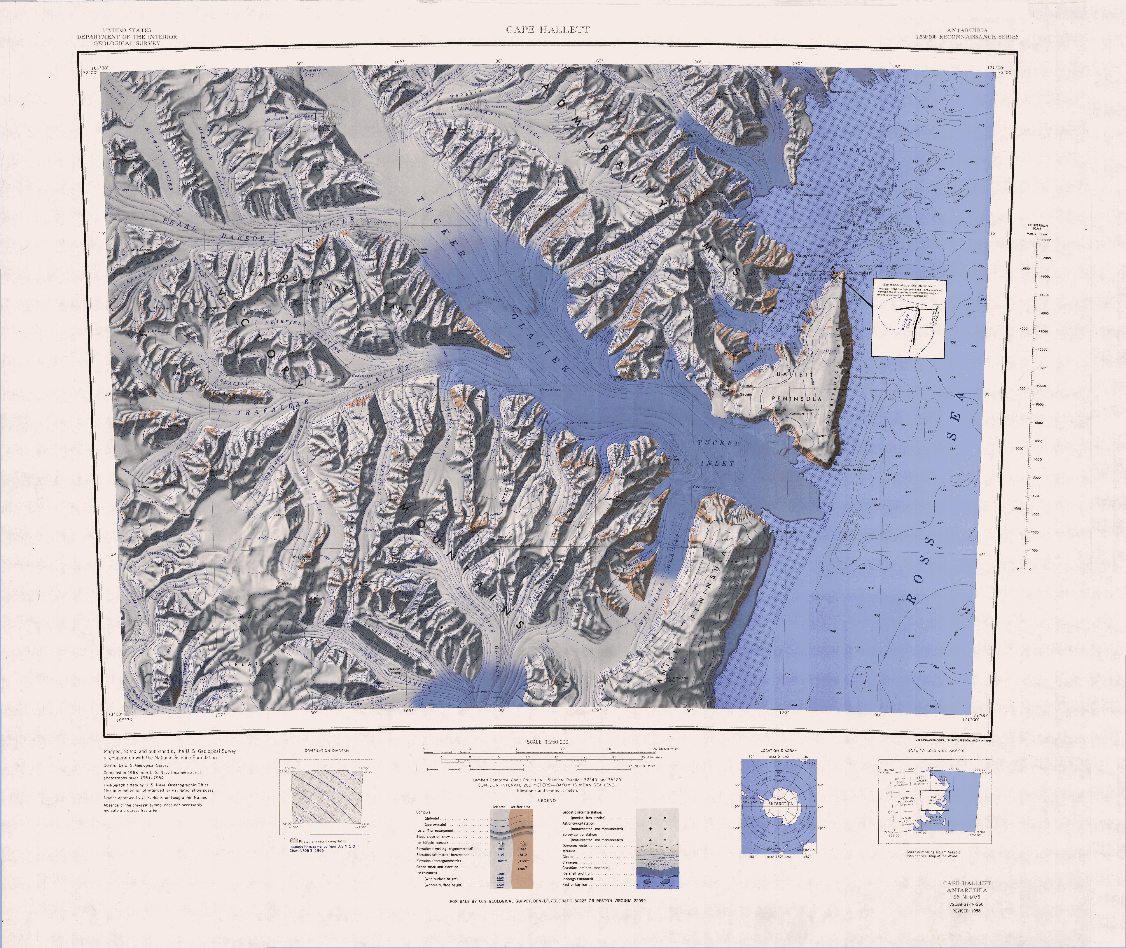
The Malta Plateau () is an ice-covered plateau of about 25 nmi extent in the Victory Mountains of Victoria Land, Antarctica. The plateau is irregular in shape and is bounded on the south and west by Mariner Glacier, on the north by tributaries to Trafalgar Glacier, and on the east by tributaries to Borchgrevink Glacier.
Name
The Malta Plateau was named by the New Zealand Antarctic Place-Names Committee (NZ-APC) to commemorate the island of Malta in association with the Victory Mountains.
Geology
The plateau is part of the Melbourne Volcanic Province of the McMurdo Volcanic Group.
Location
The Malta Plateau is to the south of the Trafalgar Glacier, to the east and north of the Seafarer Glacier and the Mariner Glacier, and to the west of the Borchgrevink Glacier. The west of the plateau is drained by Potts Glacier to the south, Olson Glacier and Wilhelm Glacier to the west, Osuga Glacier and Trainer Glacier to the north. Features of the west include Mount Heg, Thomas Peak, Soft Snow Pass, Mount Hancox and Mount Finch.
The east of the plateau is drained by the Line Glacier, Hand Glacier and Behr Glacier, which feed the Borchgrevink Glacier to the west, and by the Gruendler Glacier and Rudolph Glacier to the north, which feed the Trafalgar Glacier. Features of the east include Collins Peak, Mount Burrill and Mount Hussey. Features of the south of the plateau include Mount Philipps, Cuneiform Cliffs, Mount Alberts, Tur Peak and Cape Crossfire.
Western features
Mount Heg
Thomas Peak
Soft Snow Pass
Mount Hancox
Mount Finch
Eastern features
Collins Peak
Mount Burrill
Mount Hussey
Southern features

Mount Philipps

Cuneiform Cliffs
Mount Alberts
Tur Peak
References
Sources
- {{citation|url=https://pubs.usgs.gov/fedgov/70039167/report.pdf |accessdate=2024-01-30 |edition=2 |editor-last=Alberts |title=Geographic Names of the Antarctic |editor-first=Fred G.
- {{citation |url=https://commons.wikimedia.org/wiki/File:C72189s1_Ant.Map_Cape_Hallet.jpg |accessdate=2024-03-10
- {{citation |url=https://commons.wikimedia.org/wiki/File:C73189s1_Ant.Map_Coulman_Island.jpg |accessdate=2024-03-10
- {{citation
This article was imported from Wikipedia and is available under the Creative Commons Attribution-ShareAlike 4.0 License. Content has been adapted to SurfDoc format. Original contributors can be found on the article history page.
Ask Mako anything about Malta Plateau — get instant answers, deeper analysis, and related topics.
Research with MakoFree with your Surf account
Create a free account to save articles, ask Mako questions, and organize your research.
Sign up freeThis content may have been generated or modified by AI. CloudSurf Software LLC is not responsible for the accuracy, completeness, or reliability of AI-generated content. Always verify important information from primary sources.
Report