From Surf Wiki (app.surf) — the open knowledge base
Labyrinth (Antarctica)
Geographic feature in Antarctica
Geographic feature in Antarctica
| Field | Value | ||
|---|---|---|---|
| name | Wright Valley | ||
| photo | File:Labyrinth, Wright Valley, McMurdo Dry Valleys, Antarctica.jpg | ||
| photo_caption | Looking to the east from head of Labyrinth down the Wright Valley | ||
| map | Antarctica | ||
| map_size | 180 | ||
| location | Antarctica | ||
| coordinates | |||
| elevation | elevation_m = | elevation_ft = |
The Labyrinth () is an extensive flat upland area which has been deeply eroded, at the west end of Wright Valley, in Victoria Land, Antarctica. It was so named by the Victoria University of Wellington Antarctic Expedition (VUWAE) (1958–59) because the eroded dolerite of which it is formed gives an appearance of a labyrinth.
Location
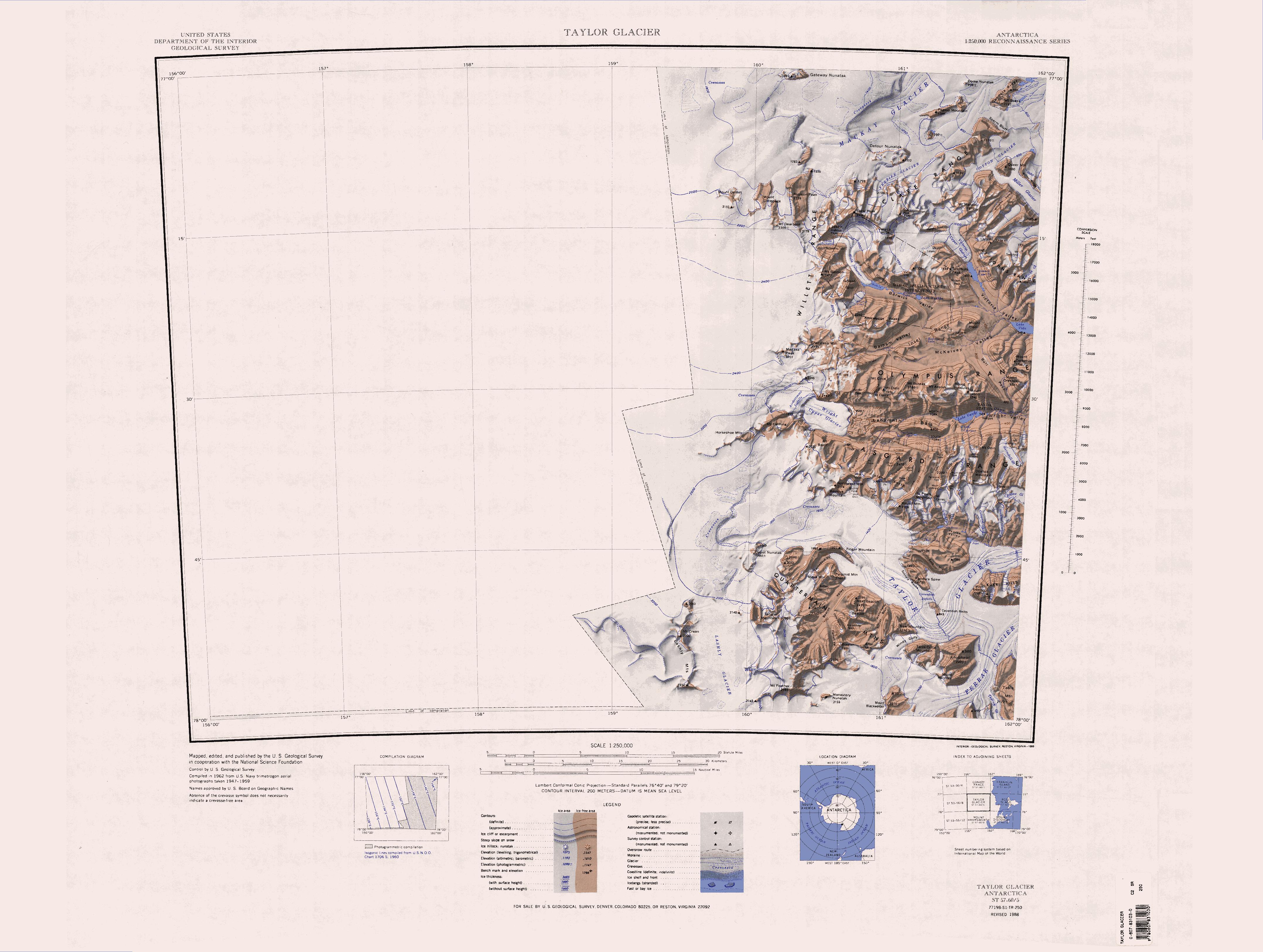
The Labyrinth lies in the western Wright Valley. The Asgard Range, Mount Thor and Linnaeus Terrace are to the south. The Olympus Range and Mount Dido are to the north. Minotaur Pass provides a route through the Olympus Range to McKelvey Valley. The Wright Upper Glacier fills the Wright Valley to the west, and the Dais lies to the east. The Dais Col connects the east edge of the Labyrinth to the west edge of the Dais.
Ponds
Connell Pond
Headwall Pond
Craig Pond
Sarcophagus Pond
Dauphin Pond
Jackson Pond
Anvil Pond
Rodriquez Pond
Redman Pond
Other features
Hoffman Ledge
Healy Trough
References
Sources
- {{citation|url=https://pubs.usgs.gov/fedgov/70039167/report.pdf |accessdate=2024-01-30 |edition=2 |editor-last=Alberts |title=Geographic Names of the Antarctic |editor-first=Fred G.
- {{cite gnis2 |type=antarid |id=18707
- {{cite gnis2 |type=antarid |id=18710
- {{cite gnis2 |type=antarid |id=18683
- {{cite gnis2 |type=antarid |id=18711
- {{cite gnis2 |type=antarid |id=18699
- {{cite gnis2 |type=antarid |id=18670
- {{cite gnis2 |type=antarid |id=18671
- {{cite gnis2 |type=antarid |id=18700
- {{cite gnis2 |type=antarid |id=18659
- {{cite gnis2 |type=antarid |id=18692
- {{cite gnis2 |type=antarid |id=18660
- {{citation |url=https://commons.wikimedia.org/wiki/File:C77198s1_Ant.Map_Taylor_Glacier.jpg |accessdate=2024-02-11
This article was imported from Wikipedia and is available under the Creative Commons Attribution-ShareAlike 4.0 License. Content has been adapted to SurfDoc format. Original contributors can be found on the article history page.
Ask Mako anything about Labyrinth (Antarctica) — get instant answers, deeper analysis, and related topics.
Research with MakoFree with your Surf account
Create a free account to save articles, ask Mako questions, and organize your research.
Sign up freeThis content may have been generated or modified by AI. CloudSurf Software LLC is not responsible for the accuracy, completeness, or reliability of AI-generated content. Always verify important information from primary sources.
Report