From Surf Wiki (app.surf) — the open knowledge base
Julia Pfeiffer Burns State Park
State park in California, United States

State park in California, United States
| Field | Value |
|---|---|
| name | Julia Pfeiffer Burns State Park |
| iucn_category | III |
| photo | Julia Pfeiffer Burns State Park.jpg |
| photo_caption | The park's McWay Cove with McWay Falls |
| map | USA California#USA |
| relief | 1 |
| location | Monterey County, California, United States |
| nearest_city | Carmel-by-the-Sea, California |
| coordinates | |
| area | 3762 acre |
| established | 1962 |
| governing_body | California Department of Parks and Recreation |
Julia Pfeiffer Burns State Park is a state park in California, 12 miles south of Pfeiffer Big Sur State Park on California's Pacific coast. A main feature of the park is McWay Falls, which drops over a cliff of 80 ft into the Pacific Ocean. The park is also home to 300 ft redwoods which are over 2,500 years old. The park is named after Julia Pfeiffer Burns, a respected resident and rancher in the Big Sur region in the early 20th century, who lived in the area for much of her life until her death in 1928. The 6-square-mile (16-square-kilometer) park was established in 1962.
Location and history
Main article: Lathrop Brown#Big Sur
Saddle Rock Ranch
Christopher and Rachel McWay homesteaded the property in the late 1870s. In 1924, former U.S. Representative Lathrop Brown and his wife Hélène were seeking an isolated point on the coast where they could build a home. They took a horse and mule trip to the Big Sur area and found Saddle Rock Cove where a waterfall poured over the rocky bluff into the Pacific.
The Browns first built a rough redwood cabin on a site at the top of cliffs opposite McWay Falls. Construction of the Carmel San Simeon Highway lasted from 1919 to 1937. Saddle Rock Ranch foreman Hans Ewoldsen worked in the machine shop of the highway construction crew to build a Pelton wheel. He used hand-split redwood from the canyon and other materials he bought. He installed the wheel on McWay Creek in 1932. The undershot wheel ran a 32-volt generator and was the first electric power in the Big Sur area. It supplied power to three residences, a blacksmith shop, and later a funicular railway that connected the home to the highway.
The Browns replaced the cabin in 1940 with a modern two-story home named Waterfall House. They built the home halfway down the cliff from the newly completed highway. It was reached by the funicular railway. It had gardens around the house and featured a view from the master bedroom of what was then named Saddle Rock Cove. The entryway was inlaid with an ornamental brass fish, a gold octopus, and a compass rose. The multi-story house had a 16 foot wide marble staircase at its base and was decorated with fine furnishings and classic paintings.
Tin House
In 1944, during World War II, they decided to build a house three miles inland on a ridge high above the fog. War-time rationing of vital supplies included building materials required some ingenuity. A side impact of the rationing was that gasoline was in short supply, forcing some gas stations out of business.
The Browns bought two abandoned gas station buildings. They selected a site on a ridge 1,960 ft (597m) above the coast. They had a 3 mi road to the site built, hired a crew to haul the tin gas station parts up the steep road, and paid an architect to assemble a home using the various parts of the two gas stations.
When complete, the distinctive, modern house had bold lines. It had a kitchen, living room, and quarters for a maid. The family called it the Gas Station, although it later become known as Tin House. The views from the home included those from the main windows in the large living room which looked not out to sea but up and down the coast. A wall was constructed facing due west to block out the intense, direct rays of the afternoon sun. The living room was richly painted in blue.
But despite the sights above the reach of the fog, the Browns only spent one night in the new residence. They hadn't anticipated the metal siding and roof expanding and contracting with the daytime heat and night time cold, and the noisy popping and creaking that accompanied it. After one sleepless night, they never returned.
There are two hiking trails to the Tin House. The Tanbark Trail is located on the south side of the highway bridge. It is a 7 mi round trip hike with a total 2000 ft elevation gain. The second route is the road used to bring construction materials to the site from Highway 1. It is one mile shorter, but much steeper and less scenic.
Land donated
Lathrop and Hélène left Big Sur for Florida in 1956 where Lathrop died in 1959. In 1961 Hélène Hooper Brown donated the entire property to the state, stipulating that it be used as a park and named for her good friend, Julia Pfeiffer Burns, "a true pioneer." She included the requirement that Waterfall House be converted into a "museum for the custody and display of indigenous Indian relics, flora and fauna of the California coastal area, and historical objects pertaining to the Big Sur country.".
Recreation

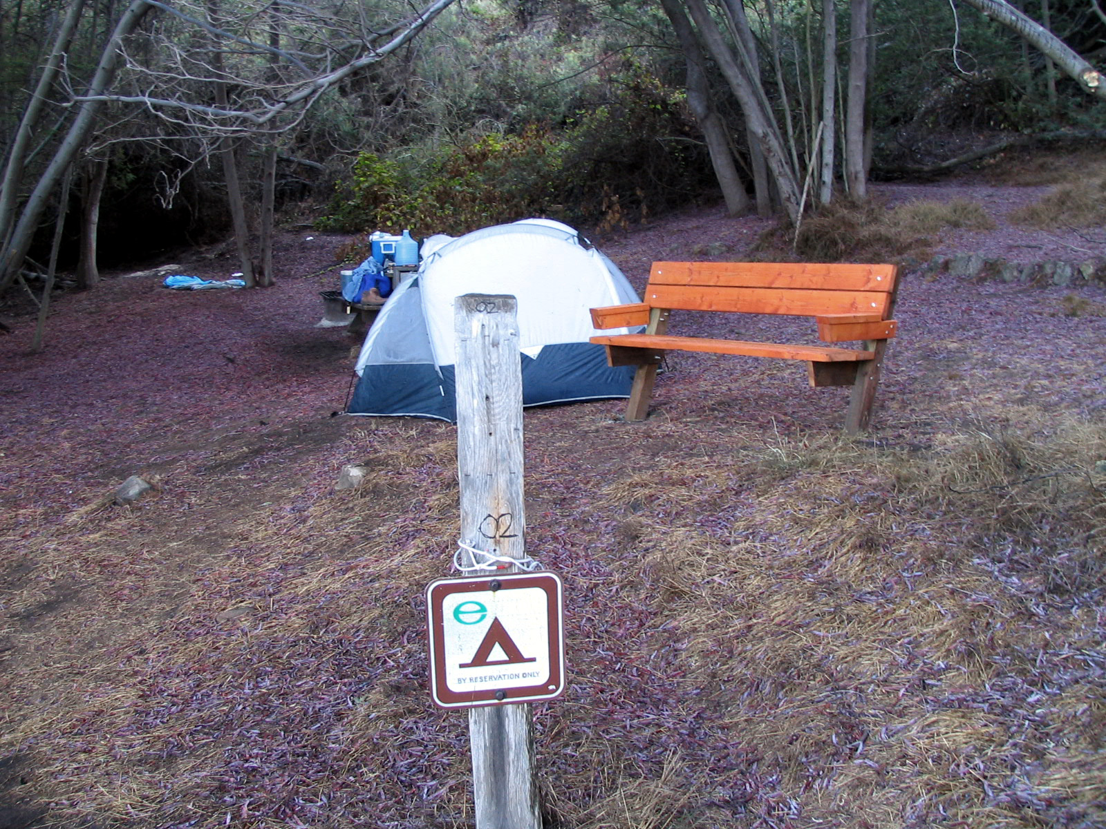
Julia Pfeiffer Burns State Park has two environmental hike-in camping areas, named by Sunset magazine as one of the "four best places to pitch a tent on the Pacific Coast." Both sites have exceptional views of the Pacific Coast, but access is restricted to those with camping reservations. The Julia Pfeiffer Burns Underwater Area is a popular location for scuba diving.
The summer 2008 California wildfires burned the upper parts of the park, but were stopped at Highway 1 and did not affect the camping sites. In early 2009 the many non-native acacia trees around the campsites were removed in order to restore vegetation native to the Big Sur Coast. Indigenous plants and trees were planted to replace them.
Marine protected areas
Big Creek State Marine Reserve and Big Creek State Marine Conservation Area are marine protected areas offshore from Julia Pfeiffer Burns State Park. Like underwater parks, these marine protected areas help conserve ocean wildlife and marine ecosystems.
References
References
- "See Monterey: Pfeiffer Big Sur State Park".
- Kinneberg, Caroline. (August 2010). "America's Most Beautiful Coastal Views". Travel+Lesiure.
- "Julia Pfeiffer Burns SP". California State Parks.
- "California State Park System Statistical Report: Fiscal Year 2009/10". California State Parks.
- (Summer 1997). "Waterfall Trail on Big Sur". California Coastal Conservancy and the California Academy of Sciences.
- [https://fdrfoundation.org/tag/tin-house/ Lathrop Brown, Long After Harvard]
- "House with a View".
- "The Myth and Mystery of the Tin House".
- (December 10, 1996). "The Natural History of Big Sur". University of California Press.
- "Tanbark Trail & Tin House".
- "Lathrop Brown, Political Dilettante".
- Henson, Paul. (1993). "The Natural History of Big Sur". University of California Press.
- "Julia Pfeiffer Burns State Park". Monterey County Convention and Visitors Bureau.
This article was imported from Wikipedia and is available under the Creative Commons Attribution-ShareAlike 4.0 License. Content has been adapted to SurfDoc format. Original contributors can be found on the article history page.
Ask Mako anything about Julia Pfeiffer Burns State Park — get instant answers, deeper analysis, and related topics.
Research with MakoFree with your Surf account
Create a free account to save articles, ask Mako questions, and organize your research.
Sign up freeThis content may have been generated or modified by AI. CloudSurf Software LLC is not responsible for the accuracy, completeness, or reliability of AI-generated content. Always verify important information from primary sources.
Report