From Surf Wiki (app.surf) — the open knowledge base
Hemishofen
| Field | Value | ||
|---|---|---|---|
| subject_name | Hemishofen | ||
| municipality_type | municipality | ||
| image_photo | 2014-12-23 13-34-18 Switzerland Kanton Schaffhausen Hemishofen -.JPG | ||
| imagepath_coa | Hemishofen-blazon.svg | ||
| imagepath_flag | CHE Hemishofen Flag.svg | ||
| canton | Schaffhausen | ||
| iso-code-region | CH-SH | ||
| district | n.a. | ||
| coordinates | |||
| postal_code | 8261 | ||
| municipality_code | 2962 | ||
| area | 7.88 | ||
| elevation | 401 | elevation_description= | |
| population | 415 | populationof = December 2008 | popofyear = 2008 |
| website | www.hemishofen.ch | ||
| mayor | mayor_asof= | mayor_party= | |
| mayor_title | list_of_mayors = | ||
| neighboring_municipalities | Öhningen (DE-BW), Ramsen, Rielasingen-Worblingen (DE-BW), Singen (DE-BW), Stein am Rhein, Wagenhausen (TG) |
| iso-code-region = CH-SH |}} Hemishofen is a municipality in the canton of Schaffhausen in Switzerland.
History
The Iron Age grave sites at Sankert indicate that this area has been settled since 800-600 BC. However, Hemishofen is first mentioned after about 1100 as Hammingeshoven.
Coat of arms
The blazon of the municipal coat of arms is Per pale Or and Gules overall a branch with five leaves Vert issuant from base.
Geography
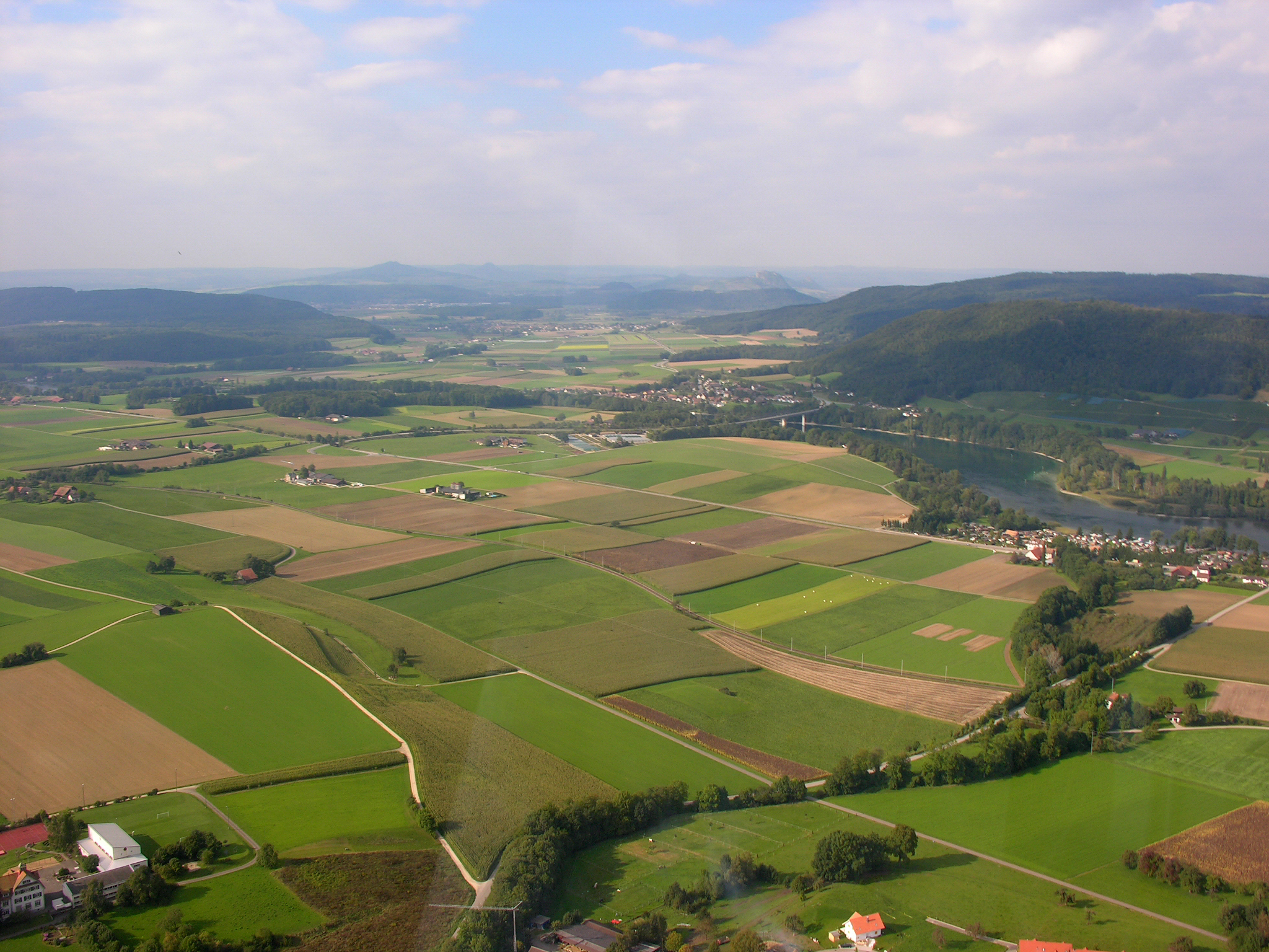
Hemishofen has an area, , of 7.9 km2. Of this area, 35.8% is used for agricultural purposes, while 54.7% is forested. Of the rest of the land, 5.9% is settled (buildings or roads) and the remainder (3.7%) is non-productive (rivers or lakes).
The municipality is located in the Stein district. Hemishofen is located along the Rhine River. The village sits at the foot of the Wolkensteinerberg, while the municipality stretches north to Herrentisch. The municipalities of Hemishofen, and Stein am Rhein are considered a merger for some time in the future into a new municipality with an as yet () undetermined name.
Demographics
Hemishofen has a population () of 415, of which 11.8% are foreign nationals. Of the foreign population, (), 56.3% are from Germany, 8.3% are from Italy, 2.1% are from Croatia, and 33.3% are from another country. Over the last 10 years the population has grown at a rate of 19.6%. Most of the population () speaks German (97.9%), with French being second most common ( 0.8%) and English being third ( 0.5%). The age distribution of the population () is children and teenagers (0–19 years old) make up 23.6% of the population, while adults (20–64 years old) make up 56.1% and seniors (over 64 years old) make up 20.2%.
In the 2007 federal election the most popular party was the SVP which received 54.8% of the vote. The next two most popular parties were the SP (26.8%), and the FDP (18.4%) .
The entire Swiss population is generally well educated. In Hemishofen about 85.9% of the population (between age 25-64) have completed either non-mandatory upper secondary education or additional higher education (either university or a Fachhochschule). In Hemishofen, , 2.68% of the population attend kindergarten or another pre-school, 8.76% attend a Primary School, 4.62% attend a lower level Secondary School, and 3.65% attend a higher level Secondary School.
, 15.6% of the population belonged to the Roman Catholic Church and 71.1% belonged to the Swiss Reformed Church.
The historical population is given in the following table:
| year | population |
|---|---|
| 1850 | 327 |
| 1900 | 376 |
| 1950 | 307 |
| 1970 | 271 |
| 2000 | 377 |
Economy
Hemishofen has an unemployment rate of 1.98%. , there were 43 people employed in the primary economic sector and about 12 businesses involved in this sector. 11 people are employed in the secondary sector and there are 5 businesses in this sector. 8 people are employed in the tertiary sector, with 4 businesses in this sector.
the mid year average unemployment rate was 0.4%. There were 12 non-agrarian businesses in the municipality and 18.4% of the (non-agrarian) population was involved in the secondary sector of the economy while 81.6% were involved in the third. At the same time, 60.5% of the working population was employed full-time, and 39.5% was employed part-time. There were 38 residents of the municipality who were employed in some capacity, of which females made up 39.5% of the workforce. there were 63 residents who worked in the municipality, while 122 residents worked outside Hemishofen and 18 people commuted into the municipality for work.
, there is 1 restaurant in Hemishofen and the hospitality industry employs 4 people.
Transport
There is a railway station in Hemishofen on the cross-border Museumsbahn (Etzwilen–Singen railway line), which is not served by regular trains. The village is also served by a bus route, line / to and to Ramsen / .
Heritage sites of national significance
The Iron Age grave sites at Sankert are listed as a Swiss heritage site of national significance.
The graves are located in a group of tumuli on the eastern edge of the lower Biber valley at the foot of the Schienerberg. The first discovery of the graves was in 1836 by Ferdinand Keller. In 1846 and 1856 there were further excavations by Johann Conrad Fehrlin. Additional excavations happened in 1874-75 by the preacher Julius Müller, 1894 by Ferdinand Schalch. In 1912-13 there was an unauthorized dig by Joseph von Sury and Bertram Böschenstein, then in 1943 Walter Ulrich Guyan explored the entire site and further digs occurred in 1967 and 1978.
The group contains at least 35 tumuli. Some of the graves contain items from the 8th through 6th Centuries BC Hallstatt culture, while others are from the 5th and 4th Century BC La Tène culture. Each of the bodies was buried with personal items including jewelry, eating utensils and weapons. Many were also buried with food and drink in ceramic vessels. Due to the numerous excavations and limited records, many of the items can not linked to a specific grave. The location of the village that was associated with these graves is unknown.
References
References
- {{usurped
- [http://www.bfs.admin.ch/bfs/portal/de/index/infothek/nomenklaturen/blank/blank/gem_liste/03.html Amtliches Gemeindeverzeichnis der Schweiz] published by the Swiss Federal Statistical Office {{in lang. de accessed 23 September 2009
- de accessed 2 December 2009
- [http://www.bfs.admin.ch/bfs/portal/en/index/regionen/02/key.html Swiss Federal Statistical Office] {{webarchive. link. (2016-01-05 accessed 10-December-2009)
- {{HDS. 1286. Hemishofen
- "Stein am Rhein Südbadenbus line 33 timetable".
- "Stein am Rhein Südbadenbus line 7349 timetable".
- [http://www.bevoelkerungsschutz.admin.ch/internet/bs/de/home/themen/kgs/kgs_inventar.html Swiss inventory of cultural property of national and regional significance] {{webarchive. link. (2009-05-01 21.11.2008 version, {{in lang). de accessed 10-Dec-2009
- {{HDS. 1286. Hallstatt era graves
This article was imported from Wikipedia and is available under the Creative Commons Attribution-ShareAlike 4.0 License. Content has been adapted to SurfDoc format. Original contributors can be found on the article history page.
Ask Mako anything about Hemishofen — get instant answers, deeper analysis, and related topics.
Research with MakoFree with your Surf account
Create a free account to save articles, ask Mako questions, and organize your research.
Sign up freeThis content may have been generated or modified by AI. CloudSurf Software LLC is not responsible for the accuracy, completeness, or reliability of AI-generated content. Always verify important information from primary sources.
Report