From Surf Wiki (app.surf) — the open knowledge base
Farrer, Australian Capital Territory
| Field | Value |
|---|---|
| type | suburb |
| name | Farrer |
| state | act |
| city | Canberra |
| image | Farrer shops.jpg |
| caption | Farrer shops 2007 |
| alternative_location_map | Australia ACT districted Canberra |
| pushpin_map_caption | Location in Canberra |
| coordinates | |
| lga | Woden Valley |
| postcode | 2607 |
| est | 1967 |
| area | 2.1 |
| elevation | 643 |
| stategov | Murrumbidgee |
| fedgov | Bean |
| dist1 | 15 |
| dir1 | S |
| location1 | Canberra CBD |
| dist2 | 16 |
| dir2 | WSW |
| location2 | Queanbeyan |
| dist3 | 102 |
| dir3 | SW |
| location3 | Goulburn |
| dist4 | 299 |
| dir4 | SW |
| location4 | Sydney |
| near-nw | Torrens |
| near-n | Mawson |
| near-ne | Isaacs |
| near-w | Torrens |
| near-nw = Torrens | near-n = Mawson | near-ne = Isaacs | near-e = | near-se = | near-s = | near-sw = | near-w = Torrens
Farrer is a suburb in the Canberra, Australia district of Woden.
Name origin
Named for William James Farrer (1845–1906), who was a wheat-breeding pioneer, many of whose experiments were conducted at Lambrigg near Tharwa. The suburb's streets are named after agriculturalists, except for Lambrigg Street, which was the name of Farrer's property in Tharwa.
Location
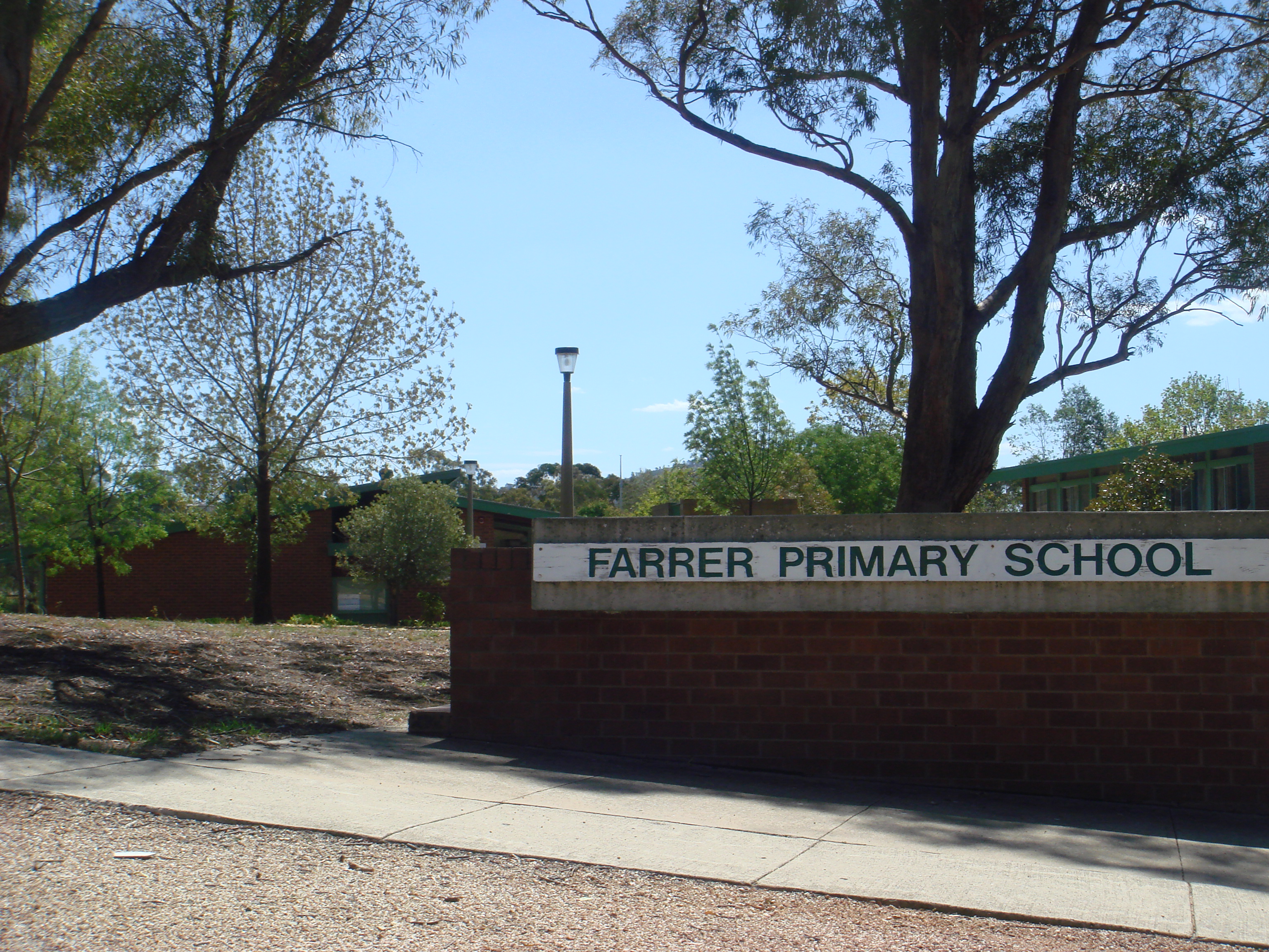
It is next to the suburbs of Torrens, Mawson, Isaacs and the Tuggeranong suburb of Wanniassa through Farrer Ridge. It is bordered by Beasley Street, Athllon Drive, and Yamba Drive. Located in this suburb is Farrer Primary School and neighbourhood oval, a Croatian Catholic parish centre, the Serbian Orthodox Church of St Sava, a small shopping centre, the former Long Gully scout hall ‒ now a nature playspace ‒ and the Goodwin Village, and The Pines for elderly citizens.
General information
Farrer is a relatively large suburb for Canberra, with over 3,300 residents. It was named on 12 May 1966, after William James Farrer, who had lived in the area late in the 19th century, making a significant contribution to wheat-breeding in New South Wales by producing climate species, thus extending the wheat-belt and enabling the breeding of resistant wheat.
The suburb's size resulted in possession of its own oval, located next to the primary school, a scout hall for the local group named Long Gully. Four playgrounds are at various locations, with the main one 'Farrer Nature Play & Adventure Trail' adjacent to the Scout Hall. Pearce's Melrose High School and Wanniassa's Erindale College are only 2.4 km and 2.7 km away respectively. While the small convenience store is often frequented by locals, Farrer is in proximity to Southlands Shopping Centre at Mawson and Woden Plaza in Phillip, only 4.2 km away. Canberra Hospital in Garran is nearer still, at 3.8 km.
The Farrer Ridge Nature Reserve, part of the Canberra Nature Park and half the suburb, provides for bushwalking and stunning vistas.
Geology
Deakin Volcanics green-grey and purple rhyodacite underlies the whole suburb. Deakin Volcanics cream rhyolite occurs on the top of Farrer Ridge. Quaternary alluvium can be found in the valley bottom.
Gallery
| File:Baby kangaroo in pouch.jpg | Kangaroo | File:Blue tongue lizard in kerb.jpg | Blue tongue lizard
References
References
- "Suburb Name search results". ACT Environment and Sustainable Development.
- Westacott, Ben. (14 March 2014). "A weekend in your suburb: 36 hours in Farrer". The Canberra Times.
- (1980). "Geology of Canberra, Queanbeyan and Environs".
This article was imported from Wikipedia and is available under the Creative Commons Attribution-ShareAlike 4.0 License. Content has been adapted to SurfDoc format. Original contributors can be found on the article history page.
Ask Mako anything about Farrer, Australian Capital Territory — get instant answers, deeper analysis, and related topics.
Research with MakoFree with your Surf account
Create a free account to save articles, ask Mako questions, and organize your research.
Sign up freeThis content may have been generated or modified by AI. CloudSurf Software LLC is not responsible for the accuracy, completeness, or reliability of AI-generated content. Always verify important information from primary sources.
Report