From Surf Wiki (app.surf) — the open knowledge base
Duffy, Australian Capital Territory
| Field | Value |
|---|---|
| type | suburb |
| name | Duffy |
| state | act |
| city | Canberra |
| image | Duffy ACT shops.jpg |
| caption | Duffy shopping centre |
| lga | Weston Creek |
| postcode | 2611 |
| est | 1971 |
| area | 2.8 |
| pop | 3,395 |
| pop_year | |
| pop_footnotes | |
| elevation | 600 |
| alternative_location_map | Australia ACT districted Canberra |
| pushpin_map_caption | Location in Canberra |
| coordinates | |
| stategov | Murrumbidgee |
| dist1 | 14 |
| dir1 | WSW |
| location1 | Canberra CBD |
| dist2 | 21 |
| dir2 | W |
| location2 | Queanbeyan |
| dist3 | 102 |
| dir3 | SW |
| location3 | Goulburn |
| dist4 | 299 |
| dir4 | SW |
| location4 | Sydney |
| fedgov | Bean |
| near-nw | *Stromlo Forest* |
| near-n | Wright |
| near-ne | Coombs |
| near-e | Holder |
| near-se | Rivett |
| near-s | Rivett |
| near-sw | Chapman |
| near-w | *Canberra Nature Park* |
| near-nw = Stromlo Forest | near-n = Wright | near-ne = Coombs | near-e = Holder | near-se = Rivett | near-s = Rivett | near-sw = Chapman | near-w = Canberra Nature Park
Duffy (postcode: 2611) is a suburb of Canberra, Australian Capital Territory, Australia, located in the district of Weston Creek.
Duffy was named in honour of Charles Gavan Duffy (1816–1903), the 8th Premier of Victoria. Streets in the suburb of Duffy are named after Australian dams and reservoirs.
History
Duffy was gazetted as a placename on 2 July 1970.
The Canberra bushfires of 2003 destroyed about 200 Duffy homes and the local petrol station. Duffy was the suburb that received the most damage in the fires. Narrabundah Hill, which borders the western edge of Duffy, is managed by ACT Forests and had contained a mature pine plantation before the fires. , work was under way to plant a new plantation on the hill and surrounding areas.
Demographics
At the , Duffy had a population of 3,395 people. Duffy residents had a median age of 39 compared to a Canberra median of 35. The median weekly personal income for people aged 15 years and over was A$1,251 a week, compared to a Canberra wide figure of $1,203 and an Australia wide figure of $805.
The population of Duffy is predominantly Australian-born, 76.6% of people being born in Australia. With 4.2% of the population, the second most common birthplace is England. Accommodation is mostly separate houses (87.4%), with semi detached, row or terrace houses and townhouses comprising 7.9%.
Suburb amenities
Educational institutions
Government schools
- Duffy Preschool is located next to the Duffy shops on Burrinjuck Crescent.
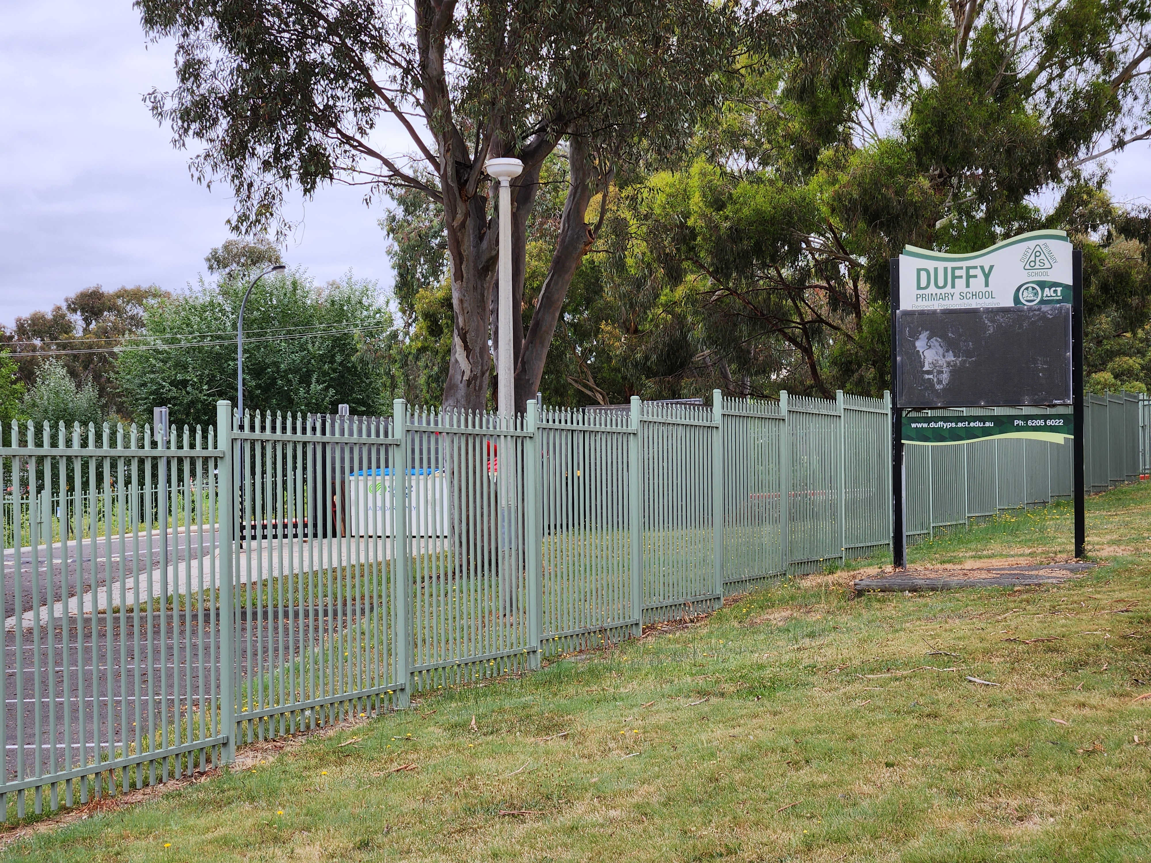
- Duffy Primary School is located next to the Duffy shops on Burrinjuck Crescent.
Places of worship
Horizon Church Canberra, a church affiliated with the Australian Christian Churches, hold their services in the Duffy Primary School.
Transport
- ACTION bus routes R7, 65 & 66 run through the suburb and link to Woden, Cooleman Court and Civic interchanges.
- No other public transportation is available, apart from taxis.
Open spaces
There is a Duffy community oval located near the government schools. There is a playground at the shops. The playground and surrounding areas were upgraded by the ACT Government in 2023. Upgrade works included: a new playground, nature play elements, two new shade sails and rubber softfall, bike track, new toilet, outdoor furniture including an undercover picnic table and bench seating, accessible paths of travel, including a new ramped path to improve access from Burrinjuck Crescent to the local shops, better landscaping including native and deciduous trees, and 60 shrubs, increased amenity with new bins and a bike rack.
Geology
Rhyodacite from the Deakin Volcanics coloured red-purple, purple or green grey underlie the suburb of Duffy.
References
References
- {{Census 2021 AUS
- Department of the Environment Land and Planning, ACT Gov.. (1992). "Canberra's Suburb and Street Names, Woden Valley and Weston Creek, Origins and Meanings". ACT Government Printer.
- (2023-01-17). "Twenty years from the day Canberra 'lost its innocence'". ABC News.
- "Horizon Church".
- (20 June 2024). "Duffy shopping centre upgrades".
- (1980). "Geology of Canberra, Queanbeyan and Environs".
This article was imported from Wikipedia and is available under the Creative Commons Attribution-ShareAlike 4.0 License. Content has been adapted to SurfDoc format. Original contributors can be found on the article history page.
Ask Mako anything about Duffy, Australian Capital Territory — get instant answers, deeper analysis, and related topics.
Research with MakoFree with your Surf account
Create a free account to save articles, ask Mako questions, and organize your research.
Sign up freeThis content may have been generated or modified by AI. CloudSurf Software LLC is not responsible for the accuracy, completeness, or reliability of AI-generated content. Always verify important information from primary sources.
Report