From Surf Wiki (app.surf) — the open knowledge base
Chichagof Island
Island in Alaska, United States
Island in Alaska, United States
| Field | Value |
|---|---|
| name | Chichagof |
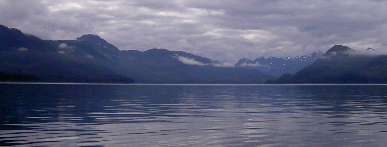
| image_name | NWCoast1a.png |
| image_caption | Islands and major straits of the northern Pacific Northwest Coast |
| map | Alaska |
| map_caption | Chichagof Island (Alaska) |
| native_name | Shee Kaax |
| location | ABC islands of Alaska |
| coordinates | |
| archipelago | Alexander Archipelago |
| area_sqmi | 2048.61 |
| length_mi | 75 |
| width_mi | 50 |
| elevation_ft | 3909 |
| country | United States |
| country_admin_divisions_title | State |
| country_admin_divisions | Alaska |
| country_admin_divisions_title_1 | Borough/Census Area |
| country_admin_divisions_1 | Hoonah-Angoon Census Area and Sitka City and Borough |
| population | 1342 |
| population_as_of | [2000](2000-united-states-census) |
| density_km2 | 0.25 |
Chichagof Island (), or Shee Kaax, is an island in the Alexander Archipelago of the Alaska Panhandle. At 75 mi long and 50 mi wide, it has a land area of 2048.61 sqmi, making it the fifth largest island in the United States and the 109th largest island in the world. Its coastline measures 742 miles.{{cite book Chichagof Island has the highest population of bears per square mile of any place on Earth.
Chichagof Island is directly north of Baranof Island, with Peril Strait separating the two islands. It is bounded by Chatham Strait to the east, Icy Strait to the northeast, Cross Sound to the northwest, and the Gulf of Alaska to the west.
The communities of Hoonah, Pelican, Tenakee Springs, and Elfin Cove are all located on the northern half of Chichagof Island, in the Hoonah-Angoon Census Area. The island's southern half comprises the northern part of the City and Borough of Sitka. Only eight persons were counted in this portion of Sitka at the 2000 census. The primary economic sources for all these communities come from either Chichagof Island or the waters and fjords surrounding it. Commercial fishing, guided hunting trips, charter fishing and logging are all vital economic facets of the local economies.
This island is named after Admiral Vasili Chichagov, a Russian Arctic explorer who never visited Alaska. The entire island lies within the limits of Tongass National Forest. The western coastal portion has been officially designated as the West Chichagof-Yakobi Wilderness.
References
- Chichagof Island Census Blocks, Sitka City and Borough and Skagway-Hoonah-Angoon Census Area, Alaska United States Census Bureau
References
- (2010-06-10). "Bear Island".
- Carol Healy, [https://www.adfg.alaska.gov/static/home/library/pdfs/wildlife/mgt_rpts/brb03mt-south.pdf Brown Bear Management Report], Alaska Department of Fish & Game, Dec. 2003
This article was imported from Wikipedia and is available under the Creative Commons Attribution-ShareAlike 4.0 License. Content has been adapted to SurfDoc format. Original contributors can be found on the article history page.
Ask Mako anything about Chichagof Island — get instant answers, deeper analysis, and related topics.
Research with MakoFree with your Surf account
Create a free account to save articles, ask Mako questions, and organize your research.
Sign up freeThis content may have been generated or modified by AI. CloudSurf Software LLC is not responsible for the accuracy, completeness, or reliability of AI-generated content. Always verify important information from primary sources.
Report