From Surf Wiki (app.surf) — the open knowledge base
Chevy Chase (town), Maryland
Town in Montgomery County, Maryland, US
_just_south_of_Maryland_State_Route_410_(East-West_Highway)_within_the_Town_of_Chevy_Chase,_Montgomery_County,_Maryland.jpg)
Town in Montgomery County, Maryland, US
| Field | Value |
|---|---|
| name | Town of Chevy Chase, Maryland |
| settlement_type | Town |
| image_skyline | 2019-06-12 13 18 53 View west along Maryland State Route 191 (Bradley Lane) at Maryland State Route 185 (Connecticut Avenue) within the Town of Chevy Chase, Montgomery County, Maryland.jpg |
| image_caption | Entering the Town of Chevy Chase along MD 191 westbound |
| image_flag | Flag of Chevy Chase (town), Maryland.png |
| image_seal | Seal of Chevy Chase (town), Maryland.png |
| image_map | MDMap-doton-ChevyChase.PNG |
| mapsize | 250x200px |
| map_caption | Location of Chevy Chase |
| coordinates | |
| subdivision_type | Country |
| subdivision_name | United States |
| subdivision_type1 | State |
| subdivision_type2 | County |
| subdivision_name1 | Maryland |
| subdivision_name2 | Montgomery |
| established_title | Incorporated |
| established_date | 1918 |
| named_for | Chevy Chase Land Company |
| leader_title | Mayor |
| unit_pref | Imperial |
| area_footnotes | |
| area_total_km2 | 1.20 |
| area_total_sq_mi | 0.47 |
| area_land_km2 | 1.20 |
| area_land_sq_mi | 0.47 |
| area_water_km2 | 0.00 |
| area_water_sq_mi | 0.00 |
| elevation_footnotes | |
| elevation_ft | 338 |
| population_total | 2904 |
| population_as_of | [2020](2020-united-states-census) |
| population_footnotes | |
| population_density_km2 | 2411.97 |
| population_density_sq_mi | 6245.16 |
| postal_code_type | ZIP Codes |
| postal_code | |
| area_codes | [](area-codes-301-and-240) |
| website | |
| timezone | Eastern (EST) |
| utc_offset | -5 |
| timezone_DST | EDT |
| utc_offset_DST | -4 |
| blank_name | FIPS code |
| blank_info | 24-16620 |
| blank1_name | GNIS feature ID |
| blank1_info | 2390788 |
The town is part of a larger community, colloquially referred to as Chevy Chase, that includes several adjoining settlements in Montgomery County and one neighborhood of Washington.
History
Main article: History of Chevy Chase, Maryland
In the 1890s, a real estate syndicate led by Francis G. Newlands bought more than 1,700 acres in upper Northwest D.C. and southern Montgomery County to create a Maryland streetcar suburb he dubbed Chevy Chase. In 1918, the subdivision called Section IV was incorporated as a municipality called the Town of Chevy Chase, creating a town government empowered to collect taxes and provide services.
Government
The Town of Chevy Chase has a council form of government, consisting of five councilmembers, who are elected to staggered two-year terms. Each year, at its organizational meeting, the town council elects among its members the mayor, who presides at council meetings and serves as the head of town government. The current Mayor is Barney Rush, who was elected in 2024.
Geography
The Town of Chevy Chase is located in southern Montgomery County. Its southern border is 1 mi north of the District of Columbia. The town is bordered by the villages of Chevy Chase Section Five and Chevy Chase Section Three to the east, by unincorporated portions of Chevy Chase to the north, and by Bethesda to the west. The town is bordered to the south by the Chevy Chase Club.
According to the United States Census Bureau, the Town of Chevy Chase has a total area of 0.47 sqmi, all land.
Coquelin Run, a tributary of Rock Creek, rises in the town.
Demographics
2020 census
| Race / Ethnicity (*NH = Non-Hispanic*) | title=P004: Hispanic or Latino, and Not Hispanic or Latino by Race – 2000: DEC Summary File 1 – Chevy Chase town, Maryland | url=https://data.census.gov/table?g=160XX00US2416620&tid=DECENNIALSF12000.P004 | website=United States Census Bureau | access-date= }} | title=P2: Hispanic or Latino, and Not Hispanic or Latino by Race – 2010: DEC Redistricting Data (PL 94-171) – Chevy Chase town, Maryland | url=https://data.census.gov/cedsci/table?q=p2&g=160XX00US2416620&tid=DECENNIALPL2010.P2 | website=United States Census Bureau | access-date= }} | % 2000 | % 2010 |
|---|---|---|---|---|---|---|---|---|---|---|
| White alone (NH) | 2,520 | 2,488 | 2,360 | 92.44% | ||||||
| Black or African American alone (NH) | 24 | 27 | 25 | 0.88% | ||||||
| Native American or Alaska Native alone (NH) | 0 | 2 | 4 | 0.00% | ||||||
| Asian alone (NH) | 59 | 108 | 160 | 2.16% | ||||||
| Native Hawaiian or Pacific Islander alone (NH) | 1 | 0 | 0 | 0.04% | ||||||
| Other race alone (NH) | 4 | 6 | 19 | 0.15% | ||||||
| Mixed race or Multiracial (NH) | 26 | 59 | 186 | 0.95% | ||||||
| Hispanic or Latino (any race) | 92 | 134 | 150 | 3.37% | ||||||
| **Total** | **2,726** | **2,824** | **2,904** | **100.00%** |
2010 census
As of the census of 2010, there were 2,824 people, 1,003 households, and 835 families living in the town. The population density was 6008.5 PD/sqmi. There were 1,042 housing units at an average density of 2217.0 /sqmi. The racial makeup of the town was 92.1% White, 1.0% African American, 0.1% Native American, 3.9% Asian, 0.7% from other races, and 2.2% from two or more races. Hispanic or Latino of any race were 4.7% of the population.
There were 1,003 households, of which 41.5% had children under the age of 18 living with them, 75.0% were married couples living together, 6.2% had a female householder with no husband present, 2.1% had a male householder with no wife present, and 16.7% were non-families. 13.6% of all households were made up of individuals, and 7.6% had someone living alone who was 65 years of age or older. The average household size was 2.82 and the average family size was 3.06.
The median age in the town was 46.3 years. 27.5% of residents were under the age of 18; 4.7% were between the ages of 18 and 24; 15.8% were from 25 to 44; 37.5% were from 45 to 64; and 14.4% were 65 years of age or older. The gender makeup of the town was 48.1% male and 51.9% female.
2000 census
As of the census of 2000, there were 2,726 people, 987 households, and 802 families living in the town. The population density was 5,822.9 PD/sqmi. There were 1,024 housing units at an average density of 2,187.3 /sqmi. The racial makeup of the town was 95.01% White, 0.88% Black or African American, 0.04% Native American, 2.20% Asian, 0.04% Pacific Islander, 0.51% from other races, and 1.32% from two or more races. Hispanic or Latino of any race were 3.37% of the population.
There were 987 households, out of which 42.1% had children under the age of 18 living with them, 73.6% were married couples living together, 6.1% had a female householder with no husband present, and 18.7% were non-families. 14.9% of all households were made up of individuals, and 7.3% had someone living alone who was 65 years of age or older. The average household size was 2.76 and the average family size was 3.04.
In the town, the population was spread out, with 28.5% under the age of 18, 2.7% from 18 to 24, 22.3% from 25 to 44, 32.5% from 45 to 64, and 13.9% who were 65 years of age or older. The median age was 43 years. For every 100 females, there were 86.3 males. For every 100 females age 18 and over, there were 87.1 males.
The median income for a household in the town was $160,331, and the median income for a family was $167,790. Males had a median income of $100,000 versus $66,705 for females. The per capita income for the town was $70,325. About 0.9% of families and 2.1% of the population were below the poverty line, including 1.8% of those under age 18 and 3.9% of those age 65 or over.
Transportation
Three state highways form the northern, eastern and southern borders of the town, with a fourth lying just beyond the western border. Of the three highways directly bordering the town, the most prominent is Maryland Route 185 (Connecticut Avenue), which forms the eastern border of the town. MD 185 extends south to Washington, D.C., and north to the nearest Interstate highway, Interstate 495 (the Capital Beltway). From the north side of town, Maryland Route 410 (East–West Highway) extends eastward, providing local connections to many other suburban towns north and northeast of Washington, D.C. On the south edge of town, Maryland Route 191 extends west through Bethesda to Potomac. The fourth highway, lying just beyond the town's western edge, is Maryland Route 355 (Wisconsin Avenue), which provides many of the same connections as MD 185 does on a slightly more west alignment.
The town is also served by the Washington Metro's Red Line, whose Bethesda station sits about a quarter-mile from the town's northwest corner; and by several Ride On and Metrobus bus lines that stop on Connecticut or Wisconsin Avenues.
Education
The Town of Chevy Chase sends students to the Montgomery County Public Schools.
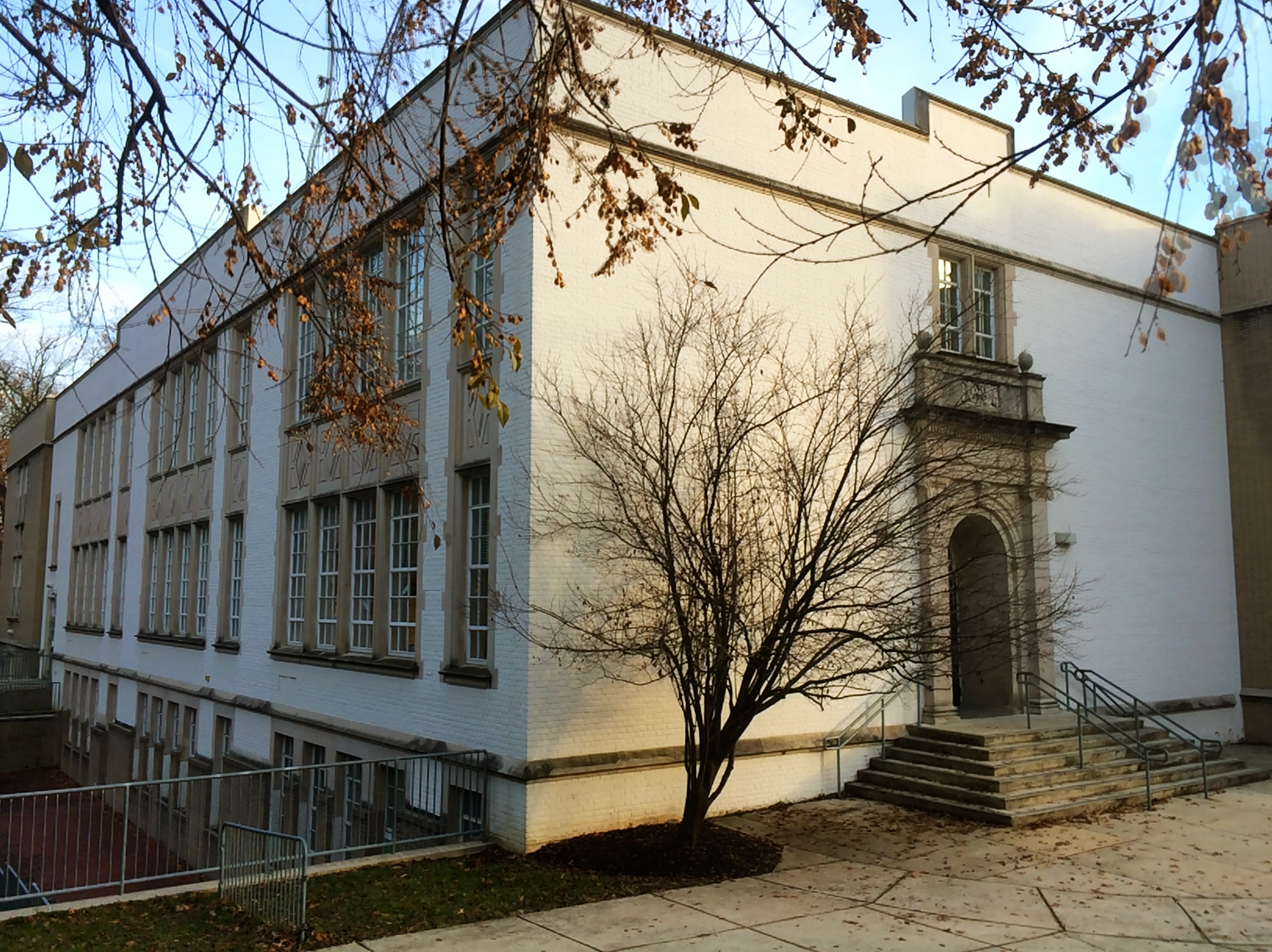
Residents are zoned to Rosemary Hills Elementary School (PreK-2) (unincorporated Montgomery County), North Chevy Chase Elementary School, Westbrook Elementary School, Chevy Chase Elementary School (3-6) (in the Town of Chevy Chase), Westland Middle School (unincorporated Montgomery County) and Bethesda-Chevy Chase High School (unincorporated Montgomery County).
References
References
- "Town of Chevy Chase".
- "2022 U.S. Gazetteer Files: Maryland". United States Census Bureau.
- "P1. Race – Chevy Chase town, Maryland: 2020 DEC Redistricting Data (PL 94-171)". U.S. Census Bureau.
- {{GNIS. 2390788
- "Town History {{!}} Chevy Chase, MD - Official Website".
- "Town of Chevy Chase website".
- (July 2, 2025). "MuniCode".
- (July 2, 2025). "Town of Chevy Chase Official Website".
- (February 12, 2011). "US Gazetteer files: 2010, 2000, and 1990". [[United States Census Bureau]].
- "Census of Population and Housing". Census.gov.
- "P004: Hispanic or Latino, and Not Hispanic or Latino by Race – 2000: DEC Summary File 1 – Chevy Chase town, Maryland".
- "P2: Hispanic or Latino, and Not Hispanic or Latino by Race – 2010: DEC Redistricting Data (PL 94-171) – Chevy Chase town, Maryland".
- "P2: Hispanic or Latino, and Not Hispanic or Latino by Race – 2020: DEC Redistricting Data (PL 94-171) – Chevy Chase town, Maryland".
- "U.S. Census website". [[United States Census Bureau]].
- "U.S. Census website". [[United States Census Bureau]].
This article was imported from Wikipedia and is available under the Creative Commons Attribution-ShareAlike 4.0 License. Content has been adapted to SurfDoc format. Original contributors can be found on the article history page.
Ask Mako anything about Chevy Chase (town), Maryland — get instant answers, deeper analysis, and related topics.
Research with MakoFree with your Surf account
Create a free account to save articles, ask Mako questions, and organize your research.
Sign up freeThis content may have been generated or modified by AI. CloudSurf Software LLC is not responsible for the accuracy, completeness, or reliability of AI-generated content. Always verify important information from primary sources.
Report