From Surf Wiki (app.surf) — the open knowledge base
California State Route 120
Highway in California
Highway in California
| Field | Value | ||||||||
|---|---|---|---|---|---|---|---|---|---|
| state | CA | ||||||||
| type | SR | ||||||||
| route | 120 | ||||||||
| section | 420 | ||||||||
| map | |||||||||
| map_custom | yes | ||||||||
| map_notes | SR 120 highlighted in red; the gap represents the unofficial segment through Yosemite National Park | ||||||||
| formed | 1934 | ||||||||
| length_mi | 152.562 | ||||||||
| length_round | 0 | ||||||||
| length_ref | |||||||||
| length_notes | (Does not include the portion in Yosemite) | ||||||||
| tourist | {{plainlist | ||||||||
| *[[File:MUTCD D6-4.svg | 20px | alt | link=]][[File:National Forest Scenic Byway.svg | 20px | alt= | link=]] Tioga Road/Big Oak Flat Road | |||
| *[[File:National Forest Scenic Byway.svg | 20px | alt | link=]] Lee Vining Canyon Scenic Byway | ||||||
| restrictions | Segments through Tioga Pass, and between Mono Lake and Benton, closed in winter | ||||||||
| direction_a | West | ||||||||
| terminus_a | in Lathrop | ||||||||
| junction | {{plainlist | ||||||||
| *{{jct | state | CA | SR | 99}} in Manteca | |||||
| *{{jct | state | CA | SR | 108}} from Oakdale to Yosemite Junction | |||||
| *{{jct | state | CA | SR | 49}} from Chinese Camp to Moccasin | |||||
| *{{jct | state | CA | road | Big Oak Flat Road | SR | 41 | SR | 140 | to2=yes}} in Yosemite National Park |
| *{{jct | state | CA | US | 395}} from Lee Vining to Mono Mills Junction | |||||
| direction_b | East | ||||||||
| terminus_b | at Benton | ||||||||
| counties | San Joaquin, Stanislaus, Tuolumne, Mono | ||||||||
| previous_type | SR | ||||||||
| previous_route | 119 | ||||||||
| next_type | SR | ||||||||
| next_route | 121 |
- [[File:MUTCD D6-4.svg|20px|alt=|link=]][[File:National Forest Scenic Byway.svg|20px|alt=|link=]] Tioga Road/Big Oak Flat Road
- [[File:National Forest Scenic Byway.svg|20px|alt=|link=]] Lee Vining Canyon Scenic Byway |* in Manteca
- from Oakdale to Yosemite Junction
- from Chinese Camp to Moccasin
- in Yosemite National Park
- from Lee Vining to Mono Mills Junction State Route 120 (SR 120) is a state highway in the central part of California, connecting the San Joaquin Valley with the Sierra Nevada, Yosemite National Park, and the Mono Lake area. It runs between Interstate 5 in Lathrop and U.S. Route 6 in Benton. While SR 120 is signed as a continuous route through Yosemite, the portion inside the park is federally maintained and is not included in the state route logs. The portion at Tioga Pass at Yosemite's eastern boundary is the highest paved through road in the California State Route system. This part is not maintained in the winter and is usually closed during the winter season.
Route description

SR 120 begins as a freeway intersecting Interstate 5 to extend Interstate 205 through Manteca. In east Manteca the freeway ends at SR 99 and becomes a highway which continues to head east through Escalon, Oakdale and other various small towns. East of Oakdale there are no highly populated areas for 90 mi as it heads into the foothills of the Sierra Nevada and into Yosemite National Park.
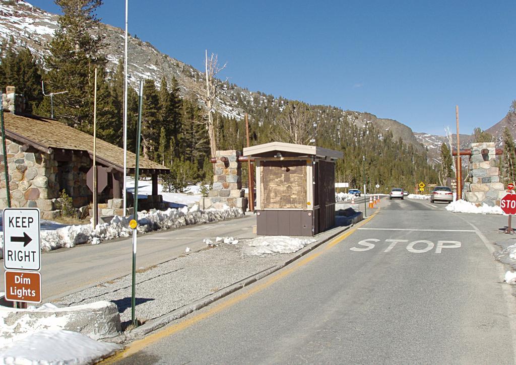
Inside Yosemite, state routes are federally maintained and are not included in the state route logs, but the park may still sign these state routes at intersections. The highway continues into the park as Big Oak Flat Road and heads towards Crane Flat. After leaving Crane Flat, Big Oak Flat Road turns southeast towards Yosemite Valley, while SR 120 continues east as Tioga Pass Road (or often simply Tioga Road). The highway retains that name as it travels through Tuolumne Meadows, over Tioga Pass at an elevation of 9,945 feet, and through the Lee Vining Canyon on its 59 mi journey to its intersection with U.S. Route 395, at Lee Vining. After a jog to the south along US 395, it continues east as Mono Mills Road, skirting the south end of Mono Lake and providing access to the Mono Lake South Tufa as well as the historical site of Mono Mills before cresting Sagehen Summit and ending with the intersection of U.S. Route 6 at Benton. Both the portions through Yosemite National Park and the stretch between Mono Lake and Benton are subject to winter closure. Usually the highway is open through Tioga Pass by the Memorial Day weekend at the end of May, and typically closes for the winter sometime in November.
Tioga Road/Big Oak Flat Road is officially both a National Scenic Byway and a National Forest Scenic Byway. The segment through the Lee Vining Canyon between the eastern edge of Yosemite and US 395 is designated as the Lee Vining Canyon Scenic Byway, a separate National Forest Scenic Byway.
SR 120 is part of the California Freeway and Expressway System, and both the western portion and the eastern portion west of US 395 are part of the National Highway System, a network of highways that are considered essential to the country's economy, defense, and mobility by the Federal Highway Administration. SR 120 is eligible to be included in the State Scenic Highway System, but it is not officially designated as a scenic highway by the California Department of Transportation. The Tioga Pass Road was designated as a California Historic Civil Engineering Landmark by the American Society of Civil Engineers in 2002.
History
_(14582187938).jpg)

During the Gold Rush, SR 120 was originally known as Big Oak Flat Road, after the village of Big Oak Flat through which it passes in the Sierra foothills. It was a pack trail from Stockton which became popular with prospectors about 1849. By 1874 it was a wagon road which extended to Yosemite Valley.
In 1921, the California State Assembly authorized San Joaquin County to transfer the county road connecting Manteca with then-Route 5 (now I-5) at Mossdale to the state. It was numbered Route 66, as was a 1933 extension from Manteca east to Route 13 in Oakdale. Also in 1933, Route 40 was extended east from Mono Lake to Route 76 (US 6) at Benton. The route from Manteca to Benton was marked as Sign Route 120 in 1934, and was soon extended west to Mossdale, replacing what had been part of U.S. Route 99W.
Priest grades
West of Priest is a section of highway with over one hundred curves and hairpin turns, known as the "New Priest Grade." With a 4% grade, it opened in 1915 and was built by a group of local volunteers who desired an alternative to the very steep (17%) Old Priest Grade. Today, both grades are paved, but trailers and RVs are prohibited from Old Priest Grade. There is a 7,500-pound weight limit on the old grade.
New Tioga Road Construction, 1958-1961
In 1956, National Park Service developed plans to relocate the Big Oak Flat Road from Crane Flat to the park's eastern boundary, and reconstruct the unimproved central section of the Tioga Road. NPS management wanted to "open up" the High Sierra section of the park to vastly increased numbers of visitors, and planned a new visitor center and other facilities at Tuolumne Meadows, as well as campgrounds and other facilities along the Tioga Road. This brought fierce opposition from the Sierra Club, led by famed photographer Ansel Adams. Adams and his supporters opposed the blasting of a great granite dome southwest of Tenaya Lake, as well as routing the highway along the western shore of the lake. Internally, however, many Sierra Club members supported the project. At the time, Sierra Club opposition created a serious rift in the long-time close relationship between the environmental organization and the National Park Service. In the end, the government proceeded to build the project as originally planned, with only minor modifications.
California's first diverging diamond interchange
On November 25, 2020, the first diverging diamond interchange in the state of California opened to traffic at the interchange with Union Road (exit 4) in Manteca.
Major intersections
(winter closure gate near the eastern end of the grove)
References
- Map: "Stanislaus National Forest, California," U.S. Forest Service, 1979.
References
- "The Tioga Road; a History 1883-1961 (1961, 1980), "Reconstruction," by Keith A. Trexler". yosemite.ca.us.
- "Floodgap Roadgap's Summer of 6 -- U.S. Highway 6, Part 1: US 6 in California (Bishop to Nevada State Line; Inyo County, Mono County)". floodgap.com.
- "Winter Driving Tips". Caltrans.
- "Yosemite National Park Winter Road Closures". National Park Service.
- Staff. "Tioga Road/Big Oak Flat Road". [[Federal Highway Administration]].
- Staff. "Lee Vining Canyon Scenic Byway". [[Federal Highway Administration]].
- {{CAFESystem
- {{FHWA NHS map
- {{FHWA NHS
- {{CA scenic
- {{Caltrans scenic
- . ["The Tioga Pass Road Historical Marker"](https://www.hmdb.org/m.asp?m=49970).
- "BLM Granite Mountain Wilderness".
- Statutes 1921 p. 1627: [https://books.google.com/books?id=CNQ3AAAAIAAJ&pg=RA3-PA17 State highway in San Joaquin County]
- [[California Department of Transportation]], [http://www.dot.ca.gov/hq/tsip/hseb/products/state_highway_routes_selected_information_1995_revised.pdf State Highway Routes: Selected Information] {{Webarchive. link. (March 16, 2007 , 1994 with 1995 revisions)
- Dennis, T.H.. (August 1934). "State Routes Will Be Numbered and Marked with Distinctive Bear Signs". [[California Highways and Public Works]].
- [[H.M. Gousha Company]], [http://members.cox.net/mkpl2/hist/droz-ca42.jpg California] {{Webarchive. link. (October 13, 2007 , 1942)
- [[American Association of State Highway Officials]], [https://books.google.com/books?id=Yg8iAAAAMAAJ&q=%22Stockton+6%2C+French+Camp+7%2C+Mossdale+6%2C+Manteca log of U.S. Highways], [[American Highways]], ca. 1932
- "Priest Grade, Grizzly Gulch". Pine Mountain Lake Association.
- "CA-120 E". Google, Inc..
- "Tioga Road (HAER No. CA-149)". Historic American Engineering Record, National Park Service, U.S. Dept. of the Interior.
- "State Route 120 / Union Road Interchange Project". City of [[Manteca, California.
- (July 2007)
- [[California Department of Transportation]], [http://traffic-counts.dot.ca.gov/ All Traffic Volumes on CSHS], 2005 and 2006
- [[California Department of Transportation]], [[California Numbered Exit Uniform System]], [http://www.dot.ca.gov/trafficops/exit/docs/onetwentyeast.pdf SR-120 Eastbound] and [http://www.dot.ca.gov/trafficops/exit/docs/onetwentywest.pdf SR-120 Westbound], accessed February 2008
- "McKinley Interchange is Manteca Game Changer".
- "Yosemite National Park Fees & Passes". National Park Service.
- (October 2018). "View of eastbound Tioga Road at the open winter closure gate east of Tuolumne Grove". Google Street View.
This article was imported from Wikipedia and is available under the Creative Commons Attribution-ShareAlike 4.0 License. Content has been adapted to SurfDoc format. Original contributors can be found on the article history page.
Ask Mako anything about California State Route 120 — get instant answers, deeper analysis, and related topics.
Research with MakoFree with your Surf account
Create a free account to save articles, ask Mako questions, and organize your research.
Sign up freeThis content may have been generated or modified by AI. CloudSurf Software LLC is not responsible for the accuracy, completeness, or reliability of AI-generated content. Always verify important information from primary sources.
Report