From Surf Wiki (app.surf) — the open knowledge base
Buffalo River Trail
Hiking and backpacking trail in Arkansas
Hiking and backpacking trail in Arkansas
| Field | Value |
|---|---|
| name | Buffalo River Trail |
| location | Arkansas, United States |
| elev_change |
Use this field when only the change is known. --
Course
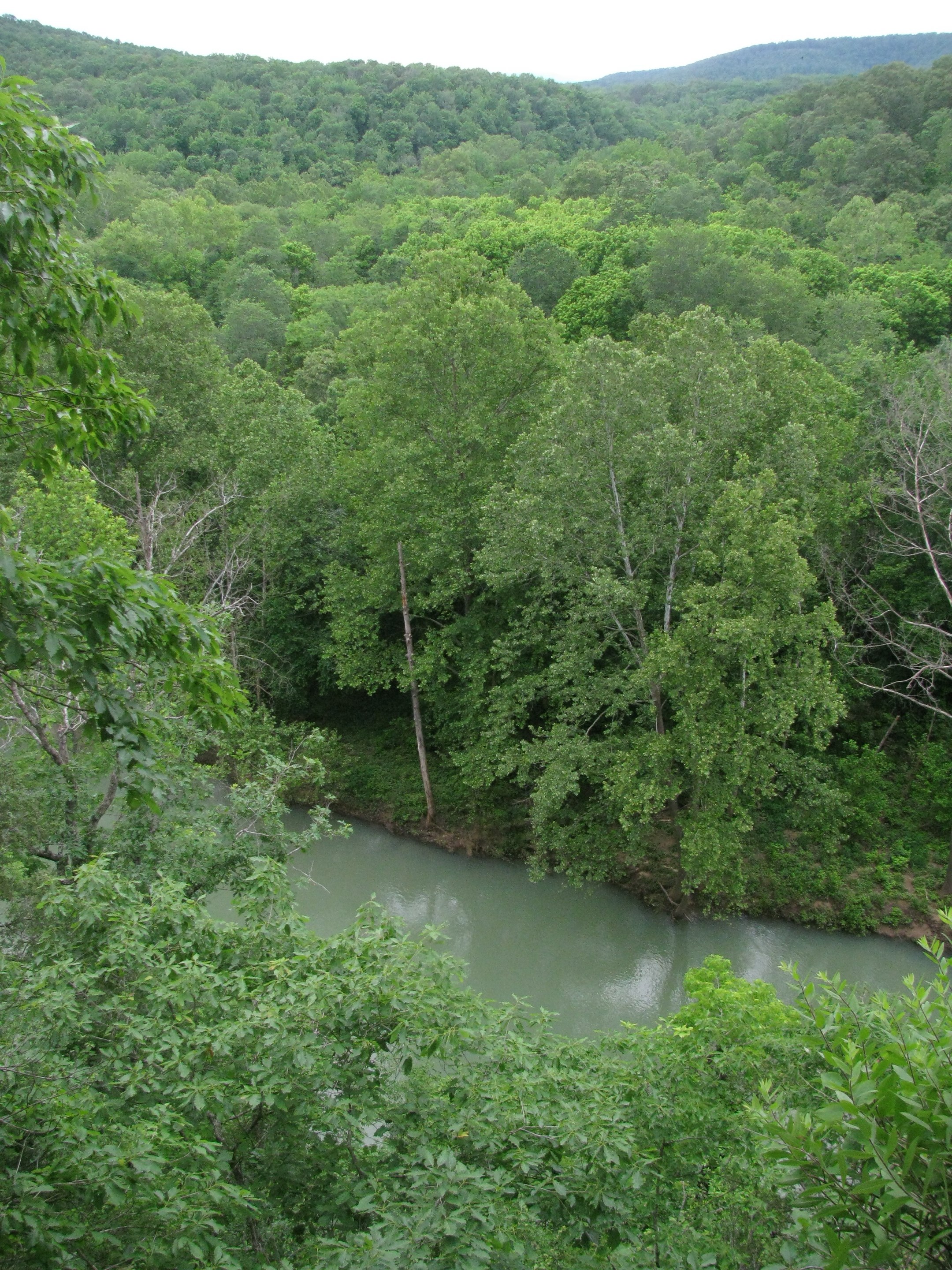
The trail follows the path of the Buffalo National River in Arkansas and traverses the rugged Buffalo River country. The route stays on the south side of the river to avoid river crossings. Western Section
- Mileage: 37 miles
- Trailheads: Boxley Valley (western terminus), Ponca, Steel Creek, Kyles Landing, Erbie, Ozark, and Pruitt (eastern terminus). Eastern Section Now open from Hwy. 65 to Hwy. 14. about 42.8 miles.
- This section is also an extension of the Ozark Highlands Trail and maintenance is by the Ozark Highlands Trail Association.
- Segments:
- Woolum Ford (western terminus) to Collier Homestead/Tyler Bend. 12.5 miles
- Collier Homestead to Grinders Ferry. 2 miles
- Grinder's Ferry to Zack Ridge Road. 6.6 miles.
- Zack Ridge Road to Red Bluff Road. 4.5 miles.
- Red Bluff Road to South Maumee Road. 6.2 miles
- South Maumee Road to Spring Creek Road. 5.1 miles
- Spring Creek Road to Highway 14/Dillard's Ferry (eastern terminus). 5.9 miles.
- Trailheads: Woolum Ford, Collier Homestead/Tyler Bend, Grinder's Ferry, Zack Ridge Rd., Red Bluff Rd., South Maumee, Spring Creed Rd, and Highway 14/Dillard's Ferry
Development
The trail is being developed as a cooperative effort of the NPS and volunteers. Kenneth L. Smith is the trail building volunteer coordinator. Spring work season is mid-March through early April. Fall work season is mid-October to early November.
History
In 1986 Kenneth L. Smith began his work as coordinator for development of the Buffalo River Trail.
The gap between the Western and Eastern Section is due to The Wilderness and Backcountry Management Plan released by the park service in 1994 which restricted development in areas designated as wilderness.
Western Section
Construction began on the Western Section in 1980 and by 1994 half of the 37 miles were completed.
Eastern Section
The Woolum Ford to Tyler Bend segment was completed in 1991
Ozark Highlands Trail Association volunteers built a 20 ft. bridge across a gulley near the Grinder's Ferry trailhead in 2015.
Features
Sites on the trail include expansive views from atop bluff cliffs, abandoned homestead sites, vestiges of Civil War-era mining and logging activities and a wide variety of Ozark flora and fauna.
Guidebooks
"Buffalo River Handbook" by Kenneth L. Smith, University of Arkansas Press.
"Buffalo River Trails" by Tim Ernst, Cloudland Publishing.
Access
The Buffalo Outdoor Center in Ponca, AR offers a vehicle shuttle service for point-to-point hikers.
References
References
- "Buffalo by foot".
- "CELEBRATE THE BUFFALO….The challenge goes on. Highlights of the History of the Buffalo National River".
- "Cloudland Journal Archives October 2010".
- "Building a Bridge Beside the Buffalo - December 5, 2015".
This article was imported from Wikipedia and is available under the Creative Commons Attribution-ShareAlike 4.0 License. Content has been adapted to SurfDoc format. Original contributors can be found on the article history page.
Ask Mako anything about Buffalo River Trail — get instant answers, deeper analysis, and related topics.
Research with MakoFree with your Surf account
Create a free account to save articles, ask Mako questions, and organize your research.
Sign up freeThis content may have been generated or modified by AI. CloudSurf Software LLC is not responsible for the accuracy, completeness, or reliability of AI-generated content. Always verify important information from primary sources.
Report