From Surf Wiki (app.surf) — the open knowledge base
Borrowdale Volcanic Group
| Field | Value |
|---|---|
| name | Borrowdale Volcanic Group |
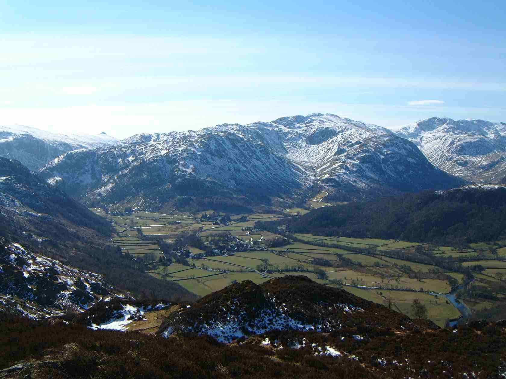
| image | Rock - Helvellyn Tuff Formation.JPG |
| caption | Lapilli tuff of the Helvellyn Tuff Formation on High Crag |
| type | Group |
| age | Caradocian (late Ordovician) |
| prilithology | volcanic rocks |
| otherlithology | siltstone, sandstone |
| namedfor | Borrowdale |
| region | Cumbria |
| country | England |
| subunits | Birker Fell Andesite Formation, Whorneyside Tuff Formation, Airy's Bridge Tuff Formation, Lingwell Tuff Formation, Seathwaite Fell Sandstone Formation, Lincomb Tarns Tuff Formation, Esk Pike Formation, Tarn Hows Tuff Formation |
| underlies | Windermere Supergroup |
| overlies | Skiddaw Group |
| thickness | probably up to 6000m |
| extent | Central Lake District & Cross Fell |
The Borrowdale Volcanic Group is a group of igneous rock formations named after the Borrowdale area of the Lake District, in England. They are Caradocian (late Ordovician) in age (roughly 450 million years old). It is thought that they represent the remains of a volcanic island arc, approximately similar to the island arcs of the west Pacific today. This developed as oceanic crust to the (present) north-west and was forced by crustal movement under a continental land-mass to the present south-east. Such forcing under, as two plates meet, is termed subduction. This land-mass has been named Avalonia by geologists. It is now incorporated into England and Wales and a sliver of North America.
Geology
At that time the rocks that now comprise most of Scotland (and part of the northern Irish landmass) were not attached to Avalonia. They were separated by an ocean, called the Iapetus Ocean by geologists. The line of joining, or suture, is approximately under the Solway Firth and Cheviot Hills. In the Lake District, the junction between the early Ordovician series, Skiddaw Slate, and the Borrowdale Volcanic that was forced under it, can be seen on the slopes of Fleetwith Pike.
In the English Lake District, the Borrowdale Volcanic Group is composed of lavas (mainly andesites), tuffs and agglomerates, along with some major igneous intrusions. These rocks of the Borrowdale Volcanic Group give rise to dramatic scenery. The mountainous nature of the area, its high rainfall and the relative impermeability of the rock give rise to a high risk of storm flooding as demonstrated by the 2009 flooding of Cockermouth.
Volcanic activity lasted in the region until, at earliest, the Burrellian period (± 455 MYA).
Boundaries
The upper boundary of the group is an unconformity with the overlying Windermere Supergroup. The lower boundary is an unconformity with the underlying Skiddaw Group.
Significance
The outcrop of this sequence on Crinkle Crags (and other surrounding peaks in the Lake District), was chosen as one of the top 100 geosites in the United Kingdom by the Geological Society of London.
References
References
- "Borrowdale Volcanic Group". British Geological Survey.
- [https://books.google.com/books?id=-6gqvAbdS-MC&pg=PA118&lpg=PA118 Geology of England and Wales, pp118ff]
- (2014). "The Geological Society's 100 Great Geosites". The Geological Society.
This article was imported from Wikipedia and is available under the Creative Commons Attribution-ShareAlike 4.0 License. Content has been adapted to SurfDoc format. Original contributors can be found on the article history page.
Ask Mako anything about Borrowdale Volcanic Group — get instant answers, deeper analysis, and related topics.
Research with MakoFree with your Surf account
Create a free account to save articles, ask Mako questions, and organize your research.
Sign up freeThis content may have been generated or modified by AI. CloudSurf Software LLC is not responsible for the accuracy, completeness, or reliability of AI-generated content. Always verify important information from primary sources.
Report