From Surf Wiki (app.surf) — the open knowledge base
Angu River
| Field | Value |
|---|---|
| name | Angu River |
| subdivision_type1 | Country |
| subdivision_name1 | Brazil |
| subdivision_type2 | state |
| subdivision_name2 | Minas Gerais |
| length_km | 58 |
| source1_location | Senador Cortes, MG, Brazil |
| source1_coordinates | |
| source1_elevation | 700 m |
| mouth_location | Volta Grande, MG, Brazil |
| mouth_coordinates |
The Angu River is a river in the Brazilian state of Minas Gerais. It is a left bank tributary of the Rio Paraiba do Sul. It is 58 km in length and drains an area of 346 km2 .
The source of the river is located in the municipality of Senador Cortes and it passes through the municipalities of Santo Antônio do Aventureiro and Além Paraíba to its mouth on the Paraiba do Sul near the city of Volta Grande .
References
References
- "Programa Nacional de Avaliação da Qualidade das Águas". Agência Nacional de Águas (ANA).
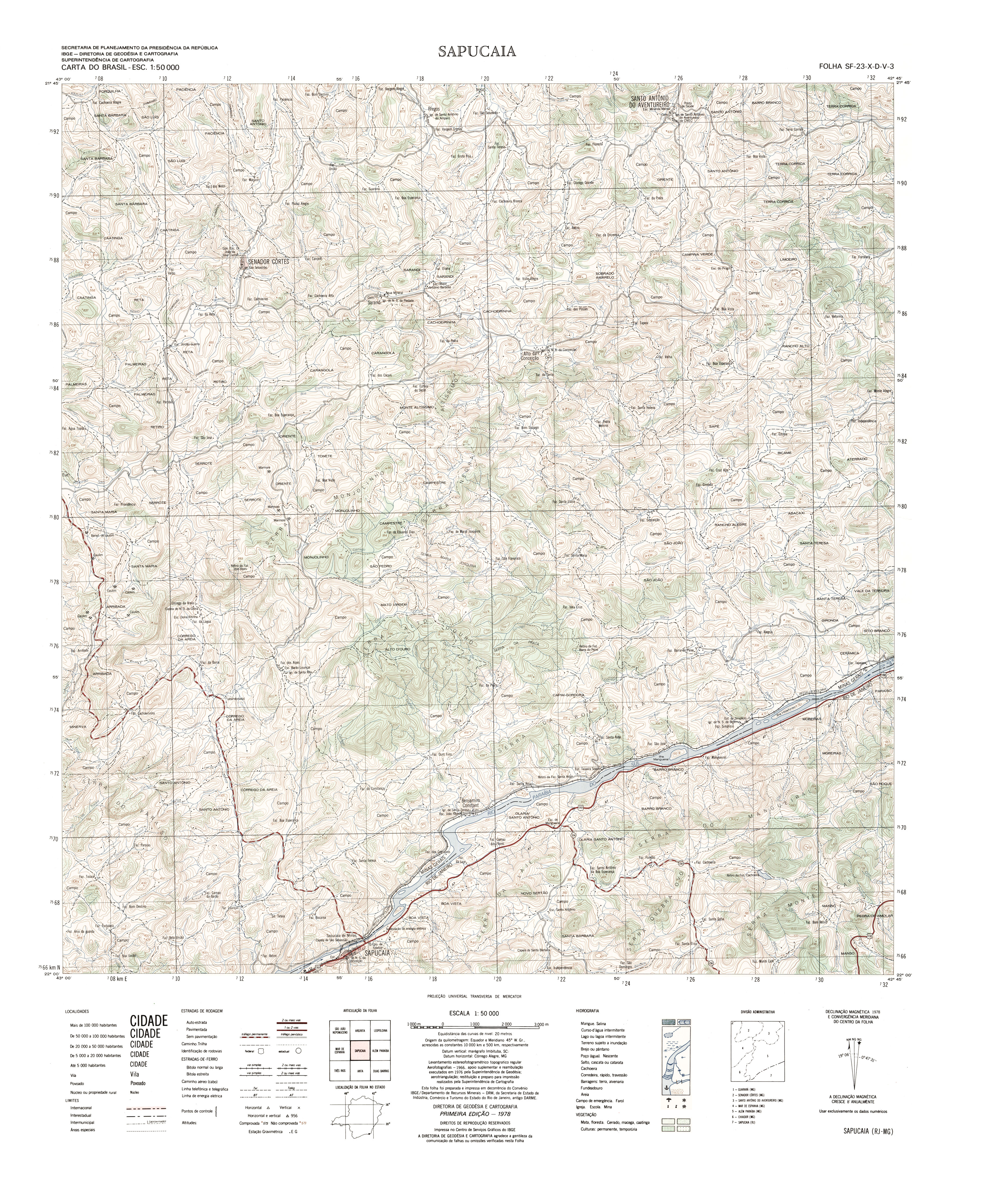
- "Carta do Brasil SF-23-X-D-V-3 Sapucaia". Instituto Brasileiro de Geografia e Estatística (IBGE).
- "Carta do Brasil SF-23-X-D-V-1 Argirita". Instituto Brasileiro de Geografia e Estatística (IBGE).
This article was imported from Wikipedia and is available under the Creative Commons Attribution-ShareAlike 4.0 License. Content has been adapted to SurfDoc format. Original contributors can be found on the article history page.
Ask Mako anything about Angu River — get instant answers, deeper analysis, and related topics.
Research with MakoFree with your Surf account
Create a free account to save articles, ask Mako questions, and organize your research.
Sign up freeThis content may have been generated or modified by AI. CloudSurf Software LLC is not responsible for the accuracy, completeness, or reliability of AI-generated content. Always verify important information from primary sources.
Report