From Surf Wiki (app.surf) — the open knowledge base
1948 Fukui earthquake
June 1948 earthquake in Japan
June 1948 earthquake in Japan
| Field | Value |
|---|---|
| title | 1948 Fukui earthquake |
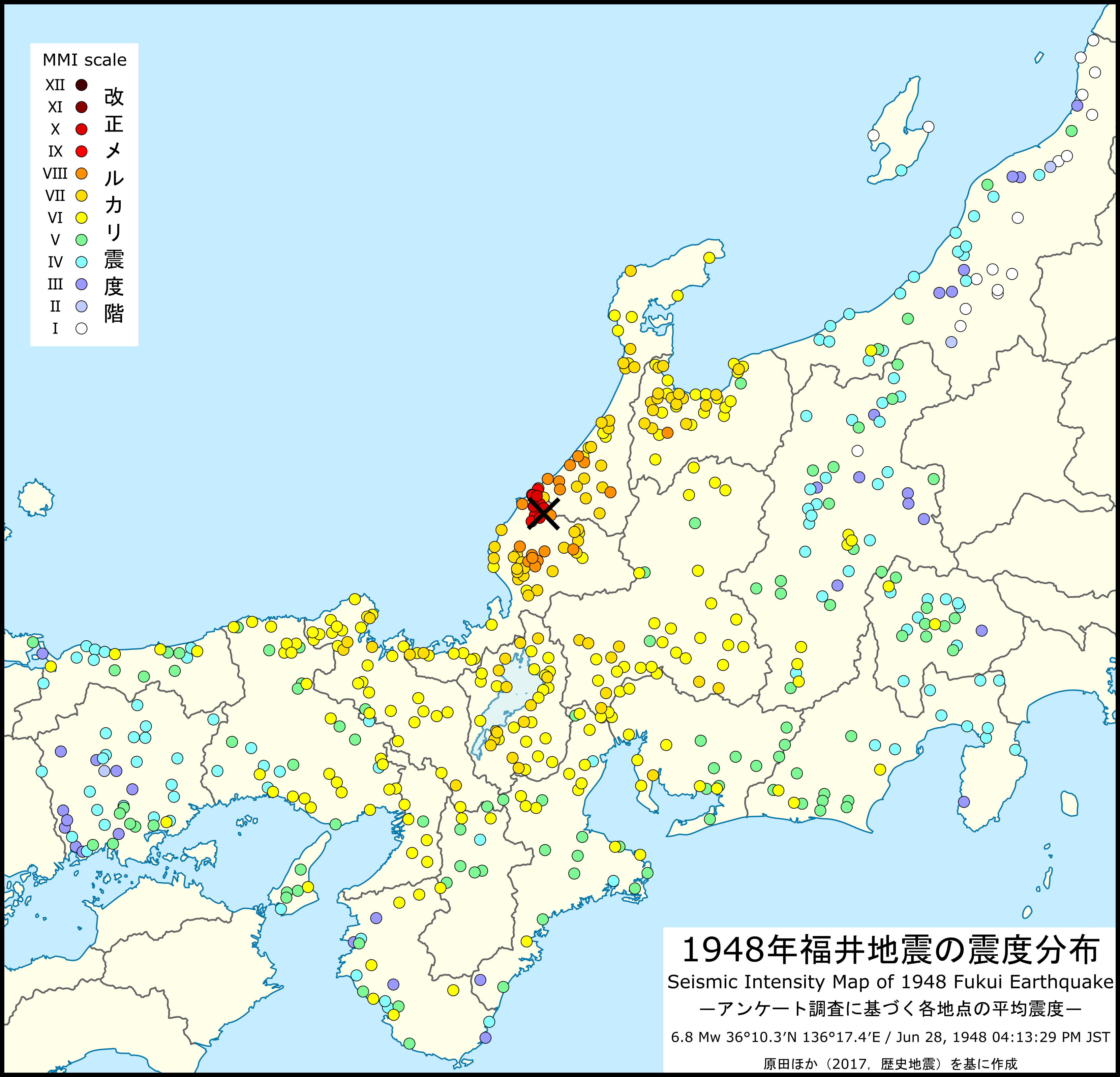
| image | Fukui Earthquake 1948 - damaged building.jpg |
| map2 | |
| local-date | |
| local-time | 16:13:31 JST |
| timestamp | 1948-06-28 07:13:31 |
| anss-url | iscgem897413 |
| isc-event | 897413 |
| magnitude | 6.8 Mw |
| depth | 10 km |
| location | |
| type | Intraplate earthquake |
| countries affected | Japan |
| damage | US$1 billion |
| intensity | |
| (now equivalent to ) | |
| PGA | |
| casualties | 3,769 dead |
| 22,203 injured | |
| native_name | 福井地震 |
| native_name_lang | ja |
| local-date = | local-time = 16:13:31 JST | anss-url = iscgem897413 | isc-event = 897413 (now equivalent to ) 22,203 injured
The 1948 Fukui earthquake occurred in Fukui Prefecture, Japan. The magnitude 6.8 quake struck at 4:13:31 p.m.(JDT) on June 28, 1948. The quake's hypocenter was approximately 10 km north-northeast of Fukui, in the present-day neighborhood of Maruoka, Sakai City. The strongest shaking occurred in the city of Fukui, where it was recorded as 6 (equivalent to the current 7) on the Japan Meteorological Agency seismic intensity scale.
Overview
The earthquake devastated Fukui, which was still recovering from damage sustained during WWII air raids in July 1945. Damage across the entire Fukuiheiya flood plain into neighboring Ishikawa prefecture. Official casualty estimates totaled 3,769 dead and 22,000 wounded, with more than 36,000 buildings completely destroyed. In the Kanazugocho district (modern-day eastern Awara); Maruoka and Harue; and Yoshida District, nearly every building was leveled. In central Fukui city, which was adjacent to the epicenter, approximately 79% of structures were completely destroyed, while the overall destruction rate across the Fukuiheiya floodplain surpassed 60%. Fires caused by the earthquake compounded the destruction.
The quake also seriously damaged the embankments of the Kuzuryū River. Record-setting rain in the weeks following the quake subsequently caused the levees to burst, leading to massive flooding.
Although three years of war damage, earthquake damage, fire damage, and flood damage reduced the city to ashes, it continued to rebuild. In honor of the citizens' resilience, the Fukui citizen's charter proclaims Fukui "City of the Phoenix."
Geology
This earthquake was caused by a previously unknown strike-slip fault. The fault stretches from Kanazu to Fukui, with a length of 25 km, and was later named the "Fukui Earthquake Fault". Shaking was felt as far as Mito in the east, and Saga in the west.
Damage
As many people were cooking when the earthquake struck, many fires spread after the quake. Since the roads and the waterworks were damaged it took five days to put out the fires and so the fires caused devastating damage.
Even though the Daiwa Department Store collapsed, the Fukui Bank building right next to it had no significant damage. It is thought to have been because the Fukui Bank building had about 500 deep foundation pipes 10 meters deep in the ground.
Almost all of the farmers' houses in the epicenter area collapsed, but most of the farmers were outside so there were not many casualties.
| Prefecture | colspan="2" | Casualties | colspan="3" | Damaged houses | Deaths | Injuries | Collapsed | Half collapsed | Burned | Fukui | Ishikawa | Total | ||||||
|---|---|---|---|---|---|---|---|---|---|---|---|---|---|---|---|---|---|---|
| 3,728 | 21,750 | 35,382 | 10,542 | 3,851 | ||||||||||||||
| 41 | 453 | 802 | 1,274 | 0 | ||||||||||||||
| 3,769 | 22,203 | 36,184 | 11,816 | 3,851 |
Damage in Fukui City
| Total damage in Fukui City |
|---|
| **Dead** |
| **Collapsed buildings** |
| **Half collapsed buildings** |
| **Burnt buildings** |
| **Building collapse rate** |
| **Fires** |
| **Burnt area** |
Casualties
At the time, it was the deadliest earthquake after the Pacific War (now superseded by the Great Hanshin earthquake and the Tōhoku earthquake and tsunami). This earthquake killed 3769 people, mainly in Sakai City (then part of Fukui City), where the death rate was more than 1%.
Property damage
- Maruoka Castle collapsed.
- Hosorogi Station and Kanazu Station (now Awaraonsen Station) collapsed.
- The Daiwa Department Store collapsed.
- A theater in Fukui collapsed and caught fire, killing a few hundred people.
Other
- Levees damaged by the earthquake and torrential rains caused Kuzuryū River to overflow.
Influence
- The Japan Meteorological Agency added Shindo 7 to the Japan Meteorological Agency seismic intensity scale.
References
References
- National Geophysical Data Center / World Data Service (NGDC/WDS): NCEI/WDS Global Significant Earthquake Database. NOAA National Centers for Environmental Information.. (1972). "Significant Earthquake Information". NOAA National Centers for Environmental Information.
- "気象庁 | 過去の地震・津波被害".
- "福井県の地震活動の特徴 – 地震調査研究推進本部". Headquarters for Earthquake Research Promotion.
- "石川県の地震活動の特徴 – 地震調査研究推進本部". Headquarters for Earthquake Research Promotion.
- [https://web.archive.org/web/20110716135729/http://www.seisvol.kishou.go.jp/cgi-bin/shindo_db.cgi?from_YYYY=1948&from_MM=01&from_DD=01&from_hh=00&from_mm=00&to_YYYY=1949&to_MM=01&to_DD=01&to_hh=24&to_mm=00&ORG_PID=24403&pref=40&minimum_shindo=7&station=9999999&max_count=5&PARAM_OK_DATE=%B8%A1%BA%F7%BC%C2%B9%D4 Japan Meteorological Agency] Shindo Database Search Retrieved August 16, 2008
- (19 January 1995). "Jap Quake Death Toll Passes 4,000". The Vindicator.
- (12 May 2005). "Rupture process of the 1948 Fukui earthquake ( M 7.1) from the joint inversion of seismic waveform and geodetic data". Journal of Geophysical Research: Solid Earth.
- "Archived copy".
- 宇佐美龍夫『新編日本被害地震総覧』東京大学出版会、1987年
- ISC. (2015). "ISC-GEM Global Instrumental Earthquake Catalogue (1900–2009)". [[International Seismological Centre]].
This article was imported from Wikipedia and is available under the Creative Commons Attribution-ShareAlike 4.0 License. Content has been adapted to SurfDoc format. Original contributors can be found on the article history page.
Ask Mako anything about 1948 Fukui earthquake — get instant answers, deeper analysis, and related topics.
Research with MakoFree with your Surf account
Create a free account to save articles, ask Mako questions, and organize your research.
Sign up freeThis content may have been generated or modified by AI. CloudSurf Software LLC is not responsible for the accuracy, completeness, or reliability of AI-generated content. Always verify important information from primary sources.
Report