From Surf Wiki (app.surf) — the open knowledge base
Semarang–Solo Toll Road
Toll Road in Indonesia
Toll Road in Indonesia
| Field | Value | |||
|---|---|---|---|---|
| marker_image | [[File:ID Tol12-1.svg | x70px]] | ||
| country | IDN | |||
| name | Semarang–Solo Toll Road | |||
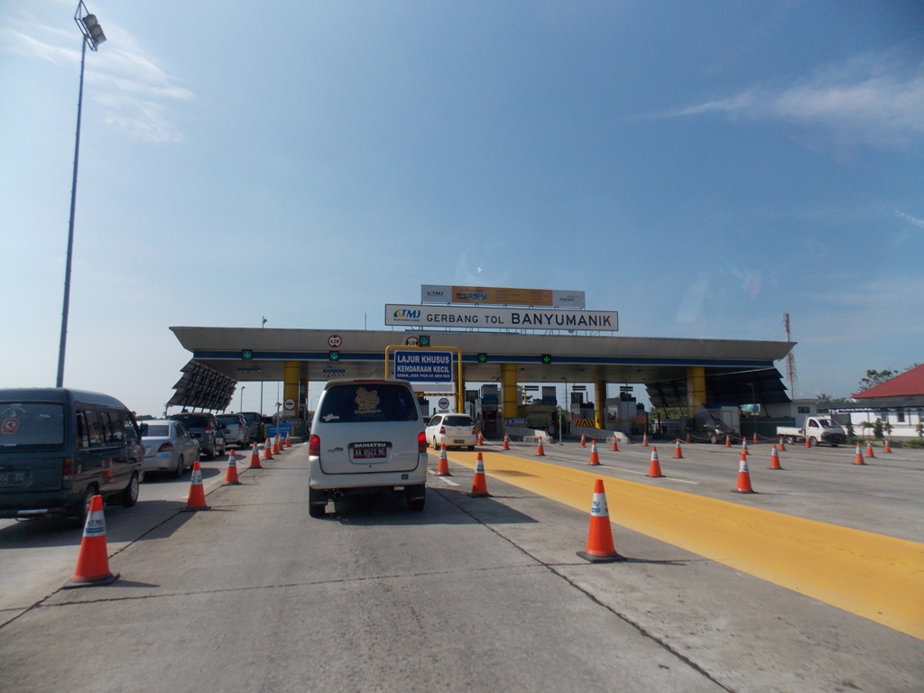
| image | Semarang Solo Toll Road.JPG | |||
| image_notes | Southbound Semarang–Solo Toll Road heading to Bawen, Semarang Regency in 2014 | |||
| translation | Jalan Tol Semarang–Solo | |||
| lang | id | |||
| alternate_name | Somar Toll Road | |||
| maint | PT Trans Marga Jateng | |||
| (PT Jasa Marga Tbk, Astra Infra, PT Sarana Pembangunan Jawa Tengah (a Central Java government REIT)) | ||||
| length_km | 72.64 | |||
| length_ref | ||||
| established | 2009 | |||
| direction_a | North | |||
| terminus_a | Semarang | |||
| junction | {{unbulleted list | |||
| {{Jct | country | ASIA | AH | 2}} – Solo–Kertosono Toll Road}} |
| direction_b | South | |||
| terminus_b | Surakarta | |||
| cities | {{unbulleted list | |||
| ahn |
(PT Jasa Marga Tbk, Astra Infra, PT Sarana Pembangunan Jawa Tengah (a Central Java government REIT)) |[[File:ID Rambu petunjuk 4a.svg|24px]] Semarang Toll Road |[[File:ID Rambu petunjuk 4a.svg|24px]] Bawen–Yogyakarta Toll Road (planned) | – Solo–Kertosono Toll Road}} |Semarang |Semarang Regency |Salatiga |Boyolali Regency |Surakarta}}


Road sections
This toll road is divided into 5 sections :
| 5 | Section 5 (Boyolali–Karanganyar) | 11.1 km |
|---|
Bridges
This toll road has few long bridges, which cross over both the river and the valley :
Section 1 (TEMBALANG–UNGARAN)
- Banyumanik 1 (170 m)
- Banyumanik 2 (384 m)
- Gedawang (470 m)
- Susukan (470 m)
- Penggaron (400 m) Section 2 (UNGARAN–BAWEN)
- Tinalun (335 m)
- Lemah Ireng I (879 m)
- Lemah Ireng II (300 m) Section 3 (BAWEN-SALATIGA)
- Tuntang (330 m)
- Senjoyo (170 m) Section 4 (SALATIGA-BOYOLALI)
- Kenteng and Serang Rivers (493 m)
- Cemoro River (200 m)
- Butak River (163 m)
- Cengger River 1 (337 m)
- Cengger River 2 (130 m)
- Pepe River (111 m)
- Bendo River (44 m)
- Kiringan River (37 m)
- Putih River 1 (122 m)
- Putih River 2 (73 m)
- Kali Putih Access Road (120 m) Section 5 (BOYOLALI-KARTASURA)
- Grenjeng River (73 m)
- Putih River (81 m)
- Pleret River (42 m)
- Pepe River (89 m)
Exits
|[[File:ID Rambu petunjuk 4a.svg|24px]] Semarang Toll Road | |Kota Lama Semarang |[[File:Indonesian_Road_Sign_Info_5a3.png|24px]] Port of Tanjung Emas |[[File:Indonesia_New_Road_Sign_Info_5a4.png|24px]] Ahmad Yani International Airport}} |Tembalang |Diponegoro University}} |Ungaran |Gunungpati |Bandungan}} |Bawen |Ambarawa |Magelang}} |Salatiga |Suruh |Tingkir}} |Boyolali |Klaten |Yogyakarta}} |Kartasura |Klaten
References
References
- Maulidin, Ade. (14 July 2012). "PT Trans marga Jateng".
- "Indonesia Infrastructure Initiative - IndII".
- "November 13, 2011 - Section I of Semarang-Solo Toll Road Enters Commercial Operation".
- "Tol Semarang-Solo". Departemen Pekerjaan Umum.
This article was imported from Wikipedia and is available under the Creative Commons Attribution-ShareAlike 4.0 License. Content has been adapted to SurfDoc format. Original contributors can be found on the article history page.
Ask Mako anything about Semarang–Solo Toll Road — get instant answers, deeper analysis, and related topics.
Research with MakoFree with your Surf account
Create a free account to save articles, ask Mako questions, and organize your research.
Sign up freeThis content may have been generated or modified by AI. CloudSurf Software LLC is not responsible for the accuracy, completeness, or reliability of AI-generated content. Always verify important information from primary sources.
Report