From Surf Wiki (app.surf) — the open knowledge base
Apurímac River

| Field | Value |
|---|---|
| name | Apurímac River |
| image | Rio apurimac.jpg |
| image_size | 250 |
| map | Apurimacrivermap.png |
| map_size | 250 |
| map_caption | Amazon Basin with Apurímac River highlighted (lower left) |
| pushpin_map_size | 250 |
| subdivision_type1 | Country |
| subdivision_name1 | Peru |
| subdivision_type3 | Region |
| subdivision_name3 | Apurímac Region, Cusco Region |
| length | 730.7 km |
| source1 | Mismi |
| source1_coordinates | |
| mouth | Ene River |
| mouth_coordinates | |
| tributaries_left | Qañawimayu |
| tributaries_right | Hatun Wayq'u, Aqumayu |
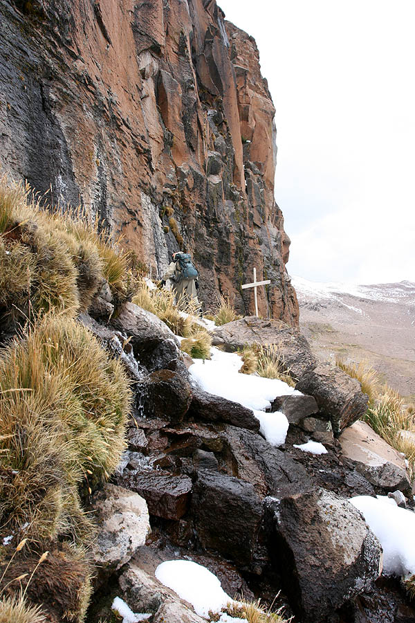
The Apurímac River ( ; , ; from Quechua apu 'chief' and rimaq 'the one who speaks, oracle', thus 'the chief oracle') rises from glacial meltwater of the ridge of the Mismi, a 5597 m mountain in the Arequipa Province in the south-western mountain ranges of Peru, 10 km from the village Caylloma, and less than 160 km from the Pacific coast. It has been considered the most distant source of the Amazon River. It flows generally northwest past Cusco in narrow gorges with depths of up to 3000 m, almost twice as deep as the Grand Canyon, its course interrupted by falls and rapids. Of the six attempts to travel the full length of the Apurímac so far, only two have been successful.
After 730 km, the Apurímac joins the Mantaro River and becomes the Ene River, 440 m above sea level; then after joining the Perené River at 330 m above sea level, it becomes the Tambo River; when it joins the Urubamba at 280 m above sea level the river becomes the Ucayali, which is the main headstream of the Amazon. Sometimes the complete river from its source to its junction with the Ucayali, including the rivers Ene and Tambo, is called "Apurímac", with a total length of 1070 km.
In the 13th century, the Inca constructed a bridge over this river which gave them access to the west. Erected around 1350, the bridge was still in use in 1864, and dilapidated but still hanging in 1890. It was the basis for the titular bridge in Thornton Wilder's 1927 novel The Bridge of San Luis Rey. One such bridge, Queshuachaca, is reassembled on an annual basis.
References
References
- Jonathan Norton Leonard, "Ancient America", Great Ages of Man Series published by Time/Life Books, 1968 p 185
This article was imported from Wikipedia and is available under the Creative Commons Attribution-ShareAlike 4.0 License. Content has been adapted to SurfDoc format. Original contributors can be found on the article history page.
Ask Mako anything about Apurímac River — get instant answers, deeper analysis, and related topics.
Research with MakoFree with your Surf account
Create a free account to save articles, ask Mako questions, and organize your research.
Sign up freeThis content may have been generated or modified by AI. CloudSurf Software LLC is not responsible for the accuracy, completeness, or reliability of AI-generated content. Always verify important information from primary sources.
Report