Karasuk (river)

River in Siberia, Russia
title: "Karasuk (river)" type: doc version: 1 created: 2026-02-28 author: "Wikipedia contributors" status: active scope: public tags: ["rivers-of-novosibirsk-oblast", "endorheic-basins-of-asia"] description: "River in Siberia, Russia" topic_path: "general/rivers-of-novosibirsk-oblast" source: "https://en.wikipedia.org/wiki/Karasuk_(river)" license: "CC BY-SA 4.0" wikipedia_page_id: 0 wikipedia_revision_id: 0
::summary River in Siberia, Russia ::
::data[format=table title="Infobox river"]
| Field | Value |
|---|---|
| name | Karasuk |
| other_name | Карасук |
| image | Локтёнок.jpg |
| image_caption | Lake Kornoukhovo, an oxbow lake of the Karasuk basin near Loktyonok |
| source1 | Ob Plateau |
| source1_elevation | 190 m |
| source1_coordinates | |
| mouth_elevation | 105 m |
| mouth_coordinates | |
| subdivision_type1 | Countries |
| subdivision_name1 | Russia |
| length | 531 km |
| basin_size | 11300 km2 |
| pushpin_map | Russia Novosibirsk Oblast |
| pushpin_map_caption | Mouth location in Novosibirsk Oblast, Russia |
| :: |
| name = Karasuk | other_name = Карасук | image = Локтёнок.jpg | image_caption = Lake Kornoukhovo, an oxbow lake of the Karasuk basin near Loktyonok | source1 =Ob Plateau | source1_elevation = 190 m | source1_coordinates = | mouth = | mouth_elevation = 105 m | mouth_coordinates = | progression = | subdivision_type1 = Countries | subdivision_name1 = Russia | length = 531 km | discharge1_avg = | basin_size = 11300 km2 | pushpin_map = Russia Novosibirsk Oblast | pushpin_map_size = | pushpin_map_caption= Mouth location in Novosibirsk Oblast, Russia The Karasuk () is a river in the Karasuksky, Krasnozyorsky, Kochkovsky and Chulymsky districts, Novosibirsk Oblast, Russia. It is 531 km long, with a drainage basin of 11300 km2.
The source region of the Karasuk River was declared a special protected area on 26 March 2007.
Course
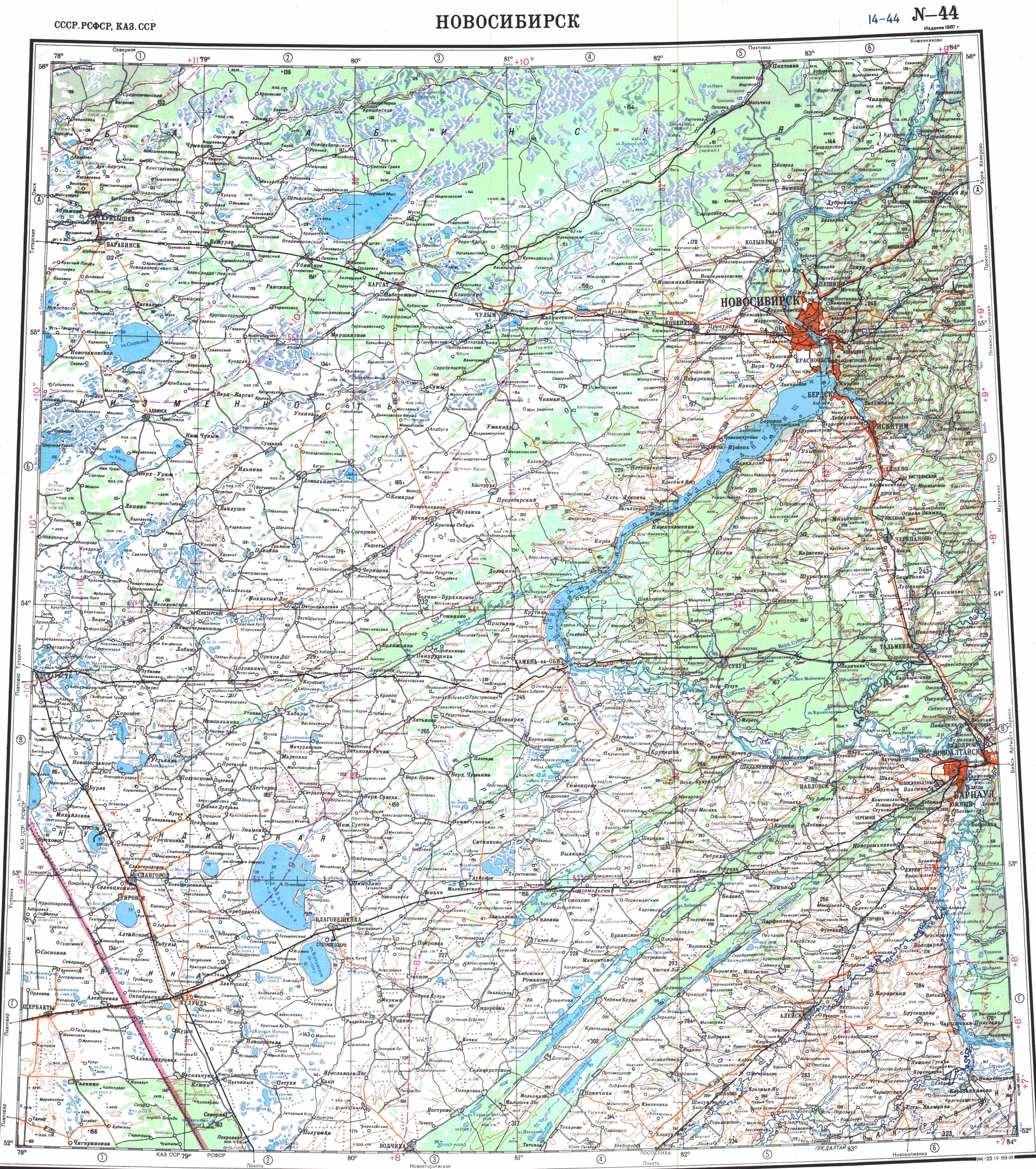
The Karasuk begins some 100 km southwest of Novosibirsk, at 190 m above sea level. It flows in a southwesterly direction through a wide valley in the southern part of the Baraba Steppe ending in the eastern shore of lake Studyonoye at 105 m. The lake is part of an endorheic basin of small lakes and swamps near the Russia-Kazakhstan border. At high water levels some water will flow through the Chuman (Чуман) River to the Burla (Бурла), which branches from the main river towards the south, east of the town of Karasuk. Some water may also branch off towards the north at Nizhnecheremoshnoye, via the Baganyonok (Russian: Баганёнок) tributary, to the Bagan River. There are riverine lakes in its basin, such as Astrodym.
At the river's lower reaches lies the town and railway hub of Karasuk, named after the river. Other inhabited places near the banks of the Karasuk include Kochki, Krasnaya Sibir, Chernovka, Reshety, Bukreyevo Pleso, Chernaki, Mayskoye, Mokhnaty Log, Gerbayevo, Krasnozyorskoye, Novy Baganyonok, Kaigorodsky and Studyonoye.
References
References
- {{GVR. 194168. Река Карасук
- [http://www.siberianclub.ru/News/article/343 Press release from the «Sibirsky Projekt» website] {{webarchive. link. (2007-09-28 (russian))
- [http://bse.sci-lib.com/article059022.html Карасук (река в Новосибирской обл.)], [[Great Soviet Encyclopedia]]
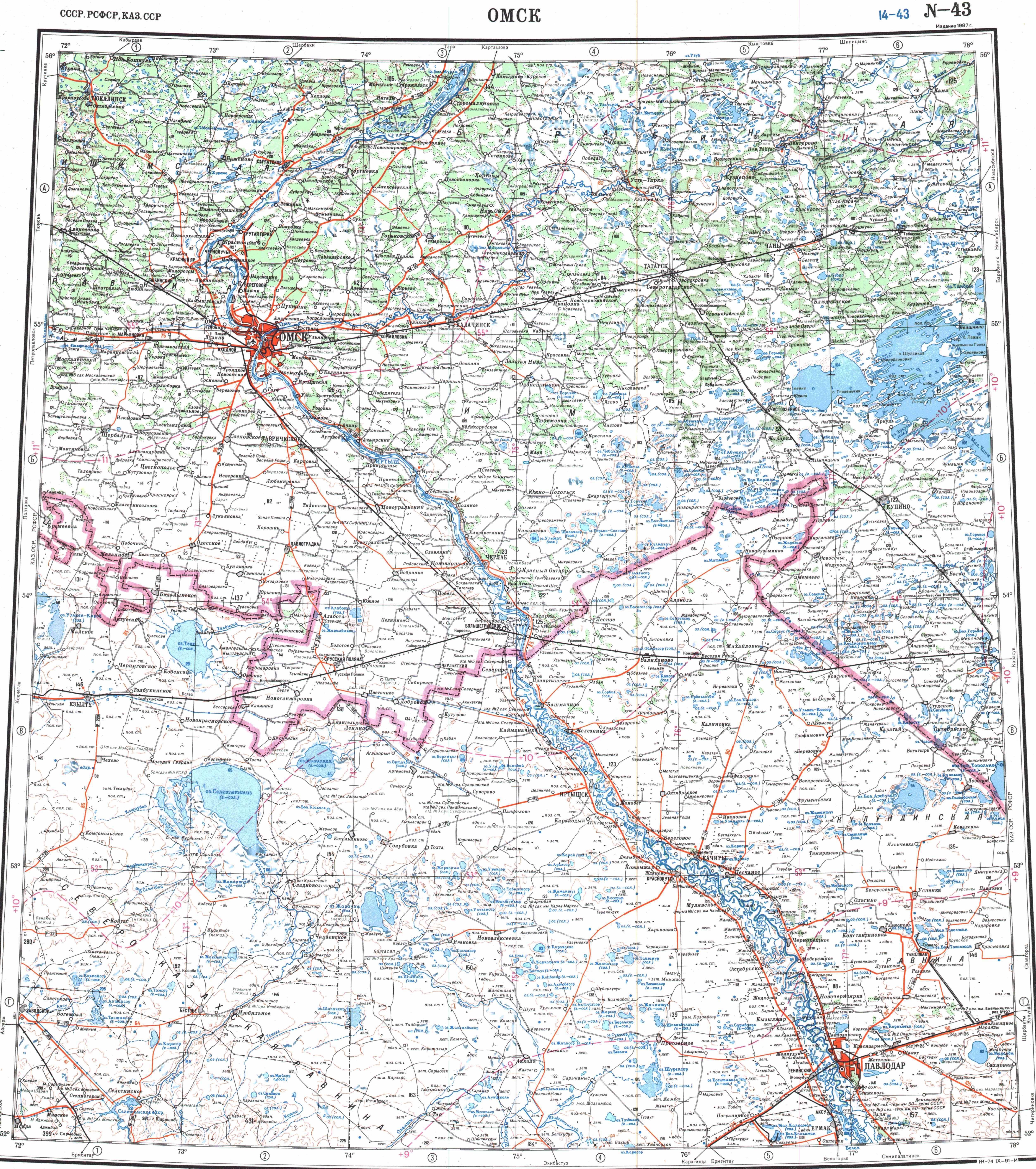
- "N-43 Topographic Chart (in Russian)".
- "N-44 Topographic Chart (in Russian)".
- [[Google Earth]]
::callout[type=info title="Wikipedia Source"] This article was imported from Wikipedia and is available under the Creative Commons Attribution-ShareAlike 4.0 License. Content has been adapted to SurfDoc format. Original contributors can be found on the article history page. ::